What is recorded here
No fairy fort in Coolagh, Longford. Bypass the myth and map the real rath: a sharp oval of packed earth, not a vague circle of claims. Measure its banks, mark the broken line, and judge the work by what it records.
In undulating grassland. Oval rath (35m NE-SW; 26m NW-SE), in fair condition, defined by two banks and an intervening fosse. The inner bank is extant throughout but is overgrown with hawthorn trees. A gap (Wth 3.3m) at S appears to be original. The fosse and outer bank survive from W to N. The NE quadrant of the interior has been disturbed by quarrying. In the centre, a small subcircular depression (3.5m N-S; 2.5m E-W) is delimited by an earthen bank.
Compiled by: Galway Archaeological Survey, UCG
Date of upload: 29 November 2017
The monument record does not grant public access. Check the route and ask the landowner before entering private land.
- What survives
- Recorded monument
Places near here
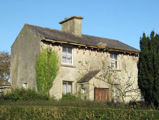 Lisduff Househouse · 1234 yd
 CastleCastle, unclassified · 1280 yd
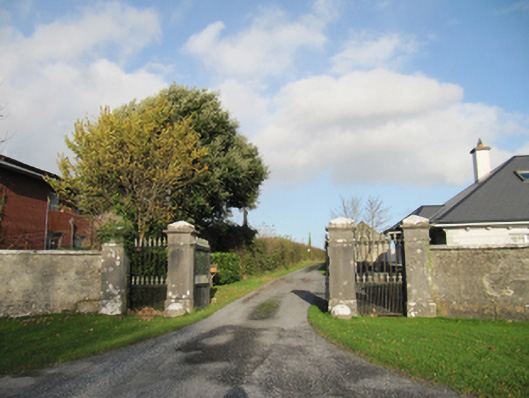 Rathmore Housegates/railings/walls · 1309 yd
 Parkeen WellHoly well · 1648 yd
 Holy WellHoly well · 1.1 mi
 Knockaunnageeragh Castle in ruinsCastle, unclassified · 1.8 mi
 Quarryhill WoodWood · 3.1 mi
 Bog WoodForest · 3.5 mi
 Church HillMountain / peak · 5.5 mi
 The bloody HollowHeritage attraction · 8.1 mi
 Battle of AughrimMajor battlefield · 8.1 mi
 Battle of Aughrim Interpretative CentreMuseum · 8.6 mi