What is recorded here
Situated on a slight rise, in relatively low-lying and gently undulating rough, wet pasture. Depicted on the revised 1913 ed. OS 25-inch map as a subcircular-shaped earthwork with a laneway abutting to NE. Monument described in 1970 as a small D-shaped area (dims. 31m E-W; 29.5m N-S) enclosed by a bank with traces of an external fosse. The bank (Wth at top 1m; overall Wth 5.2m; int. H 0.2m; ext. H 0.6m) has almost been reduced to a scarp. A portion of the bank has been removed from NNE-E-ESE, possibly when a laneway was constructed to NE. There are traces of a fosse (Wth 1.9m; D 0.2m). The original entrance is not visible. The interior has several slight natural humps and hollows. Monument is visible today as a tree-lined earthwork on Digital Globe aerial photography.
Compiled by: Alison McQueen, Vera Rahilly and Caimin O’Brien
Date of upload: 05 July 2019
This remains an important historical record, but the official description says the monument is no longer visible or has been destroyed. The monument record does not grant public access. Check the route and ask the landowner before entering private land.
- What survives
- No visible remains or recorded as destroyed
Places near here
 CastleCastle, unclassified · 493 yd
 Ardglass Househouse · 640 yd
 bridgebridge · 693 yd
 Enclosure in CooksboroughEnclosure · 719 yd
 Bawn in Kerinstown and Balrowan (rowley)Bawn · 3.1 mi
 GinkgoGinkgo · 4.2 mi
 Long PlantingForest · 4.4 mi
 United Nations War MemorialMemorial · 4.5 mi
 Saint Brigid's WellSpring · 4.7 mi
 Croppies' GraveMemorial · 12 mi
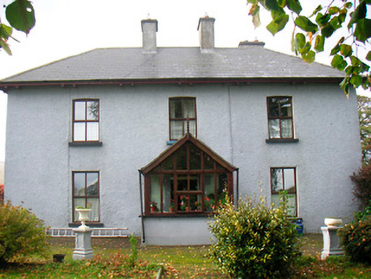 Ramparkfarm house · 1599 yd