What is recorded here
No. Under the A/Clan/Ancestry Rule, I must not label an unknown person as Irish, claim that others are Irish, or assert that they descend from the area. I can still tell the local story. I will not invent that the person is Irish or that the person descends from the area.
In the NE corner of a modern rectangular field, undulating pasture, straddling the N slope of a low rise, with very good views, especially extensive to N–NE towards Poolboy Lough which is c. 550m to NE in a boggy basin.
Oval platform (46.5m NE–SW; 36.9m NW–SE) defined by a scarp (H 1-1.2m), which retains a low internal lip (Wth c. 2m; int. H 0.3m) topped with stone at E−SW. The scarp is noticeably slumped at E and there is a low/eroded section at N, but the location of the original entrance is uncertain. The S and E portion of the interior is level, with occasional stones protruding from the sod. The SW quadrant is at a slightly higher level, with several stones protruding apparently randomly around it, and there is a slope down in the NW–N quadrant.
The scarp at N–ESE is incorporated into a later field boundary and is faced with drystone walling, now largely tumbled. A field wall on a NW–SE axis slightly truncates the scarp at S–SW. A field boundary which lay immediately to W of the rath has been removed. Grass cover, with clusters of hawthorn bushes around the perimeter.
Compiled by: Jane O’Shaughnessy
Date of upload: 17 February 2022
This remains an important historical record, but the official description says the monument is no longer visible or has been destroyed. The monument record does not grant public access. Check the route and ask the landowner before entering private land.
- What survives
- No visible remains or recorded as destroyed
Places near here
 IndicatedFairy fort / earthen ringfort · 1591 yd
 CastleCastle, unclassified · 1722 yd
 Promontory fortPromontory fort, inland · 1727 yd
 Mannin Housefarm house · 1747 yd
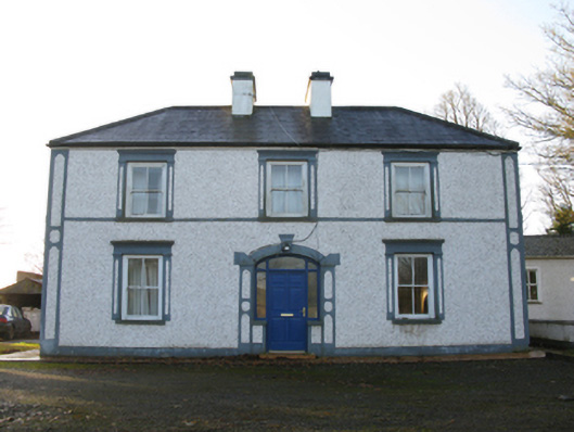 farm housefarm house · 1.4 mi
 Rath Castle in ruinsCastle, tower house · 2.6 mi
 Knock MuseumMuseum · 2.9 mi
 Knock ShrineHeritage attraction · 2.9 mi
 East Mayo Brigade MonumentMemorial · 3.5 mi
 I'll Send You The FareMemorial · 6.4 mi
 Oak WoodForest · 9.8 mi
 Geoffrey's WoodForest · 10 mi