What is recorded here
Cooga Upper holds a broad earthen ring on a south-west slope, large enough to swallow a house and wide enough to exclude most ordinary explanation. The 1840 survey marked it as a raised oval enclosed by a berm, yet local memory calls it a fairy fort, suggesting the boundary belongs to something else. Trees still line the ridge, hiding the interior from casual sight while pasture grazes the outer edge. The shape resists forgetting because it is built to be seen from a distance and misunderstood up close.
On SW-facing slope, in pasture. Depicted on the 1840 ed. OS 6-inch map as a raised oval shaped area enclosed by a wide berm (approx. overall dims. 67m NE-SW; 65m NW-SE). Monument is visible as a roughly oval-shaped tree-lined enclosure on Digital Globe orthophotos taken 2011-13 and on Google Earth orthoimages taken 18/11/2018.
See attached Google Earth orthoimage
Compiled by: Alison McQueen and Vera Rahilly
Date of upload: 14 July 2020
The monument record does not grant public access. Check the route and ask the landowner before entering private land.
- What survives
- Recorded monument
Places near here
 Christ Church (Doon)church/chapel · 174 yd
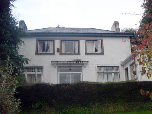 Woodbrookhouse · 265 yd
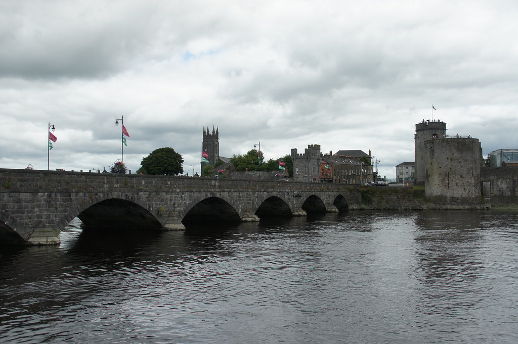 ToberfantanHoly well · 571 yd
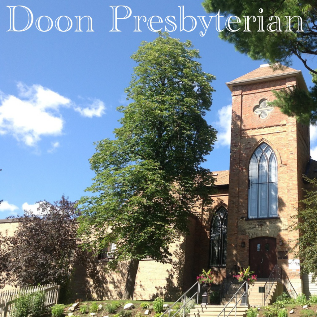 Church (Site of)Church · 987 yd
 Coonagh CastleCastle · 1.8 mi
 GortnageraghMountain / peak · 2.1 mi
 Site of CastleCastle, unclassified · 3.2 mi
 ToberagaddySpring · 4.3 mi
 Slieve Felim East TopMountain / peak · 4.5 mi
 Slieve Felim WayWalking route · 5.1 mi
 Green Field ParkWood · 5.2 mi
 Graveyard in AbingtonGraveyard · 7.1 mi