What is recorded here
Fairy fort in Conva, County Cork: a circular earthwork, about 32 metres across, on a low rise now farmed. It appeared on maps from 1842 to 1935, but local accounts say it was levelled in the 1970s. Aerial photos still show its bank, ditch, and a smaller inner circle, while a man-made passage remains at the south-east edge. The fort may have been a home, a boundary marker, or a place of story; the land remembers its shape even when the field has taken it back.
In tillage, on crest of low rise. Depicted as hachured circular enclosure on 1842, 1905 and 1935 OS 6-inch maps. According to local information, levelled 1970s; circular area (32m N-S; 30m E-W) defined by low rise (ext. H 0.3m). Interior slopes down gently to NE; Man-made underground passage (CO034-03302-) at SSE edge. Circular enclosure visible as cropmark of bank and external fosse in aerial photograph (CASAP); smaller circular ditched enclosure, immediately inside and concentic to bank, visible as cropmark in interior.
The above description is derived from the published 'Archaeological Inventory of County Cork. Volume 4: North Cork' (Dublin: Stationery Office, 2000). In certain instances the entries have been revised and updated in the light of recent research.
Date of upload/revision: 14 January 2009
The monument record does not grant public access. Check the route and ask the landowner before entering private land.
- What survives
- Recorded monument
Places near here
 Enclosure in ConvaEnclosure · 507 yd
 Blackwater (Avondhu) WayWalking route · 889 yd
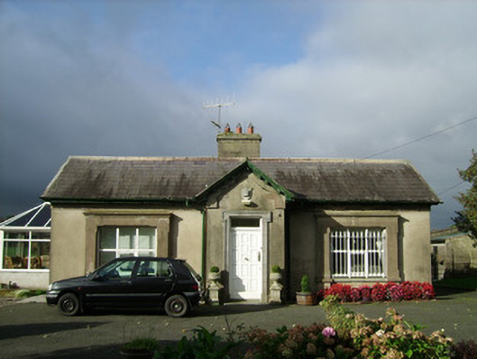 Convamoregate lodge · 952 yd
 Convamore (in Ruins)Country house · 1025 yd
 IcehouseIcehouse · 1144 yd
 Castle (in Ruins)Castle, unclassified · 1466 yd
 Ballyhooly CastleCastle · 1.1 mi
 Priest's WoodForest · 1.2 mi
 Johnson's WoodForest · 1.4 mi
 Knocknaskagh North TopMountain / peak · 2.6 mi
 Liam BurkeMemorial · 3.0 mi
 Anne's Grove GardensHeritage attraction · 3.6 mi