What is recorded here
No visible entrance, two buried rings, one empty field. That is the whole trick. The fort stopped being a home and became a drawing tool, waiting for someone young enough to ask why it exists.
Located on a SW-facing slope. The cropmark of a circular enclosure (diam. c. 35m) defined by a single fosse feature is visible on Google Earth (2018). It is separated by a berm (Wth c. 10-15m) from an outer enclosure (diam. c. 55-60m) defined by a single fosse or drain feature from which at least five field drains extend. No entrance features are visible. It was first reported by Edward O’Regan. It is also visible on Google Earth (28/06/2018).
Compiled by: Michael Moore
Date of upload: 20 December 2018
The monument record does not grant public access. Check the route and ask the landowner before entering private land.
- What survives
- Recorded monument
Places near here
 Enclosure in KilcorneyEnclosure · 781 yd
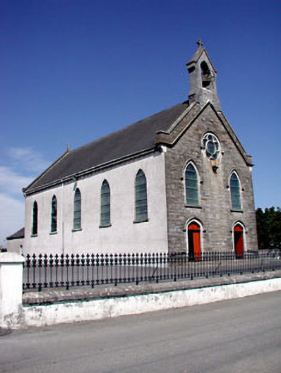 Catholic Church of the Assumptionchurch/chapel · 1520 yd
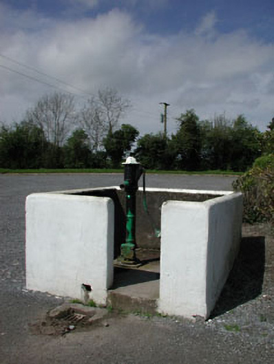 water pumpwater pump · 1527 yd
 Font in RathcoreFont · 1.0 mi
 CastleCastle, motte · 1.1 mi
 Bawn in Newcastle (moyfenrath Lower By.)Bawn · 1.4 mi
 Cloncurry GraveyardHeritage attraction · 2.9 mi
 Wych ElmWych Elm · 3.0 mi
 Old Bog Road made famous by Teresa Bryton 1868-1943Memorial · 3.9 mi
 Common LimeCommon Lime · 4.5 mi
 Croppies' GraveMemorial · 6.0 mi
 The Grill ShackHeritage attraction · 6.4 mi