What is recorded here
Fairy fort in Connellstown is a grass-and-rush ringfort, about fifty metres long and thirty-seven wide, marked by an earthen bank and faint fosse traces beside a small canalised stream. It sits unplanted inside a coniferous forest, preserving a shape that may have served as a dwelling, refuge or boundary marker before becoming a local story about hidden life. The absence of a clear entrance keeps the place uncertain, but its continued visibility suggests people valued the ring enough to leave it open among the trees.
Situated on a fairly level landscape with a small N-S canalised stream c. 10m to the W. This is a grass and rush-covered subcircular area (dims c. 50m N-S; 37m ENE-WSW) defined by an earthen bank (Wth of base 3.6-5.4m; int. H 0.2-0.5m; ext. H 0.8-1m) with some bushes. There are slight traces of a fosse WSW-WNW and NE-SSE, but an original entrance is not identified. It remains unplanted in a coniferous forest with a wide unplanted buffer outside it (OSAP 2012).
The above description is derived from the published 'Archaeological Inventory of County Meath' (Dublin: Stationery Office, 1987). In certain instances the entries have been revised and updated in the light of recent research.
Compiled by: Michael Moore
Date of revision: 14 August 2019
The monument record does not grant public access. Check the route and ask the landowner before entering private land.
- What survives
- Recorded monument
Places near here
 Enclosure in KilcorneyEnclosure · 1653 yd
 Bawn in Newcastle (moyfenrath Lower By.)Bawn · 1.2 mi
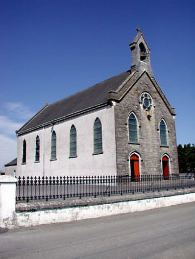 Catholic Church of the Assumptionchurch/chapel · 1.4 mi
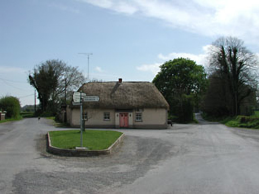 J. Bogganhouse · 1.4 mi
 Font in RathcoreFont · 1.5 mi
 CastleCastle, motte · 1.6 mi
 European ashEuropean ash · 3.3 mi
 Cloncurry GraveyardHeritage attraction · 3.3 mi
 Wych ElmWych Elm · 3.5 mi
 Old Bog Road made famous by Teresa Bryton 1868-1943Memorial · 4.4 mi
 Croppies' GraveMemorial · 5.5 mi
 The Grill ShackHeritage attraction · 6.4 mi