What is recorded here
Fairy forts are often called forts because they look like discarded fortress walls, but the name suggests something else: a place where the boundary between human and hidden life becomes thin. In that light, the double bank and narrow gap in Shanid may have marked a threshold rather than a trap. People may have avoided entering at night, not from fear of soldiers, but from fear of witnessing what the fort was truly holding.
In pasture, on gentle NE-facing slope, and immediately N of road. Circular area (31m N-S; 31m E-W) enclosed by two concentric earthen banks with intervening fosse (Wth 2.2m). Inner bank (int. H 0.55m; ext. H 3.3m) evident all round, highest internally (H 1.05m) at SW. Outer bank (int. H 1.65m; ext. H 1.7m) survives SW->SE. Entrance (Wth c. 5m), with causeway across fosse, at SE; cattle gap (Wth c. 2m) through both banks at NW. Level interior under pasture.
Compiled by: Denis Power
Date of upload: 26 August 2011
The monument record does not grant public access. Check the route and ask the landowner before entering private land.
- What survives
- Recorded monument
Places near here
 Fulacht fia in Commons (shanid By.)Fulacht fia · 431 yd
 Enclosure in Ballylin (shanid By., Ardagh Ed)Enclosure · 606 yd
 Dunganville Bridgebridge · 1294 yd
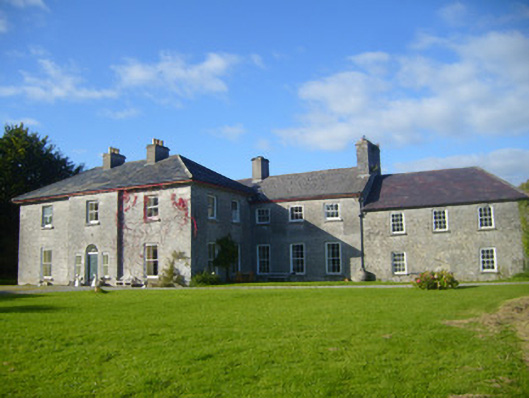 Glenville Housecountry house · 1443 yd
 CahermoyleCastle, unclassified · 1.4 mi
 St. Luke's WellSpring · 1.7 mi
 Castle (in ruins)Castle, tower house · 2.3 mi
 St. Kieran's WellSpring · 3.3 mi
 Limerick GreenwayWalking route · 3.8 mi
 Sugar HillMountain / peak · 5.5 mi
 Monterey CypressMonterey Cypress · 8.2 mi
 Prospect HillMountain / peak · 8.4 mi