What is recorded here
Fairy fort / earthen ringfort in Collin is a circular area about 40m across, marked by a bank whose slight traces are still visible on a low ridge in well-drained pasture. In 1955 it was described as having a wide fosse and slight outer bank, and in 1908 the OS 6-inch map showed the southern portion of that bank. People may have lived, herded or hidden there before the earth softened the edges, while fairy-name tradition still lingers around the ring.
Circular area (diam. 40m) defined by a bank of which slight traces are still visible, and described in 1955 as having a wide fosse and slight outer bank (Danaher 1955, no. 310). Shown on the 1908 OS 6-inch map as S portion of bank. Situated on low ridge in well-drained pasture land
Date of upload: 15 September 2016
The monument record does not grant public access. Check the route and ask the landowner before entering private land.
- What survives
- Recorded monument
Places near here
 Enclosure in LackareaghEnclosure · 1678 yd
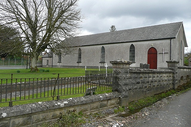 Church (in Ruins)Church · 1693 yd
 European ashEuropean ash · 1.1 mi
 TobergoreyHoly well · 1.3 mi
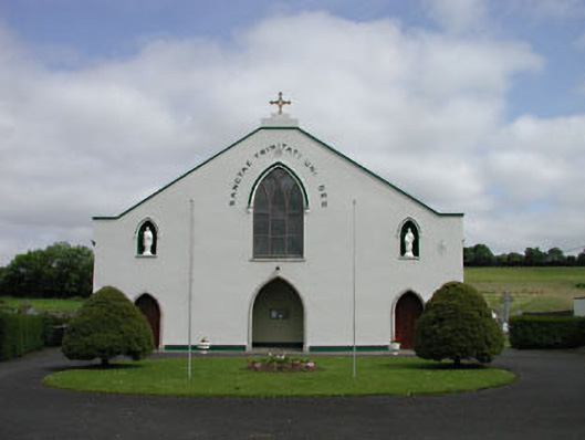 Catholic Church of the Blessed Trinitychurch/chapel · 1.7 mi
 Bolton CastleCastle, tower house · 1.8 mi
 European LarchEuropean Larch · 1.8 mi
 Tinoran HillMountain / peak · 2.0 mi
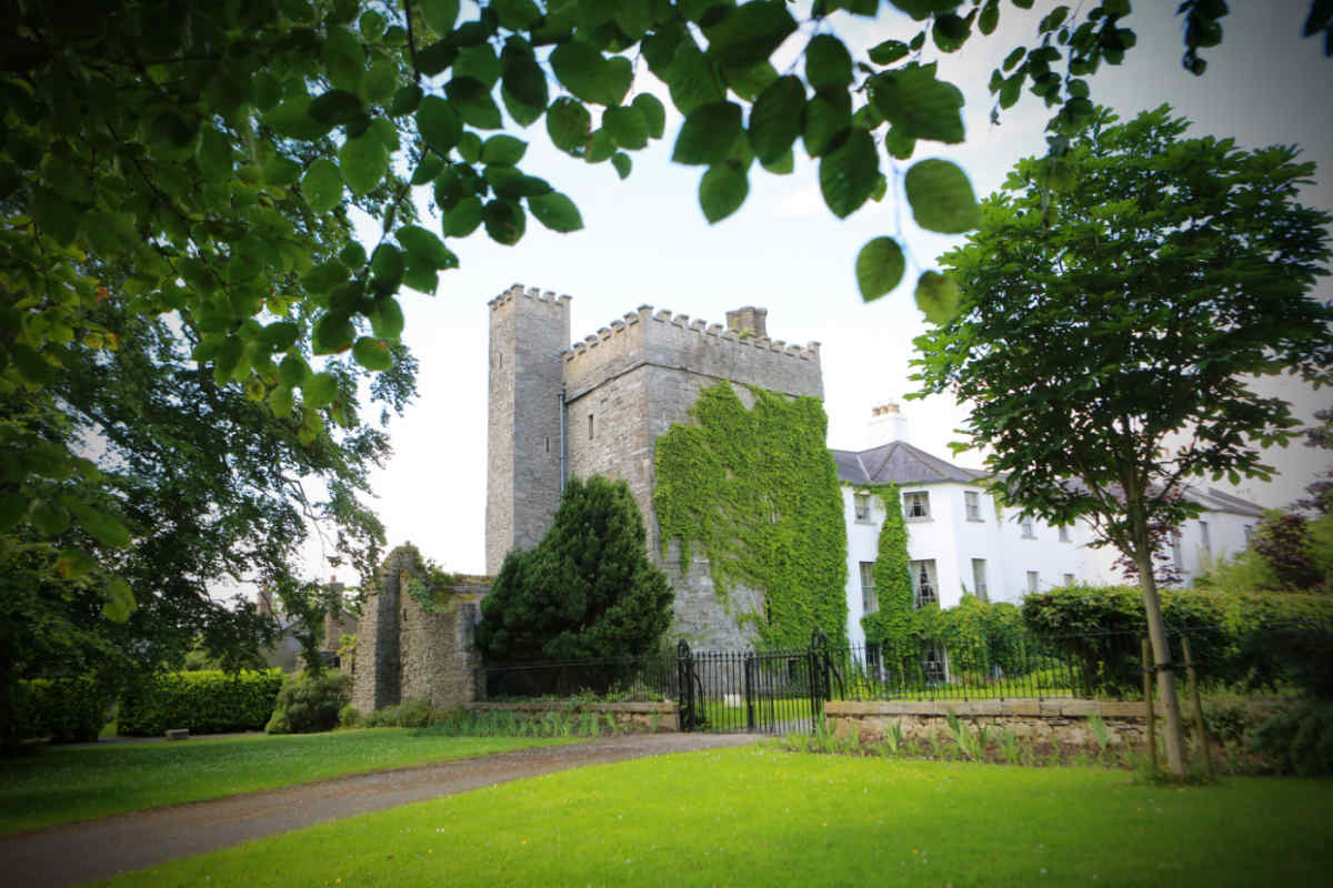 CastleCastle, unclassified · 2.1 mi
 Castledermot Round TowerHeritage attraction · 4.1 mi
 Franciscan FriaryHeritage attraction · 4.3 mi
 ProclamationMemorial · 4.4 mi