What is recorded here
No visible trace remains of the Cnoc Na Habha ringfort, yet a 1949 aerial photograph captured its univallate line on level ground above Dingle Harbour. The earth forgot the fort before people stopped drawing it.
There is no visible trace of this monument which was situated on level ground overlooking Dingle Harbour. It was shown on the 1st edition of the OS map with the symbol for a large mound, but it was named 'Fort' on the Fair Plan and appears as a univallate enclosure on an aerial photograph taken in 1949 (Ministry of Defence, V. 158/110).
The above description is derived from J. Cuppage, ‘Corca Dhuibhne. Dingle Peninsula archaeological survey. Ballyferriter. Oidhreacht Chorca Dhuibhne’ (1986), no. 716. In certain instances the entries have been revised and updated in the light of recent research.
Date of upload: 7 August 2013
This remains an important historical record, but the official description says the monument is no longer visible or has been destroyed. The monument record does not grant public access. Check the route and ask the landowner before entering private land.
- What survives
- No visible remains or recorded as destroyed
Places near here
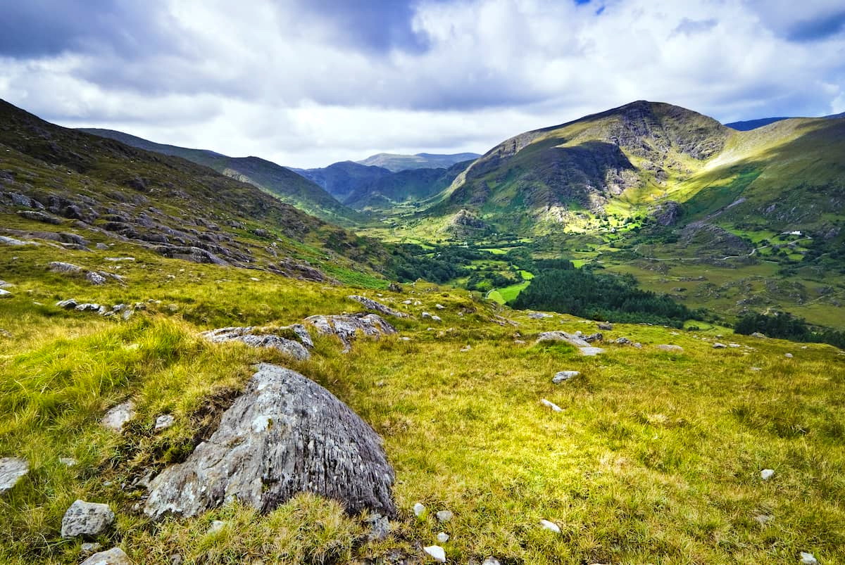 Man-made underground passage in Cnoc Na HabhaMan-made underground passage · 876 yd
 Ecclesiastical site in Baile An Mhuilinn (corca Dhuibhne)Ecclesiastical site · 911 yd
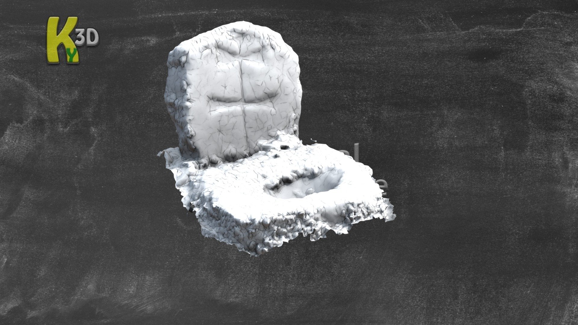 CastleCastle, unclassified · 1230 yd
 Site of Ballingolin CastleArchaeological place · 1230 yd
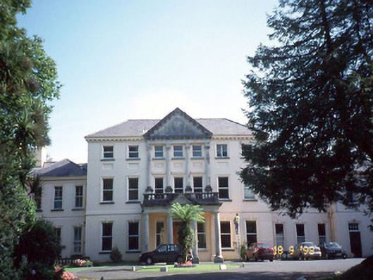 Coláiste Ídecountry house · 1497 yd
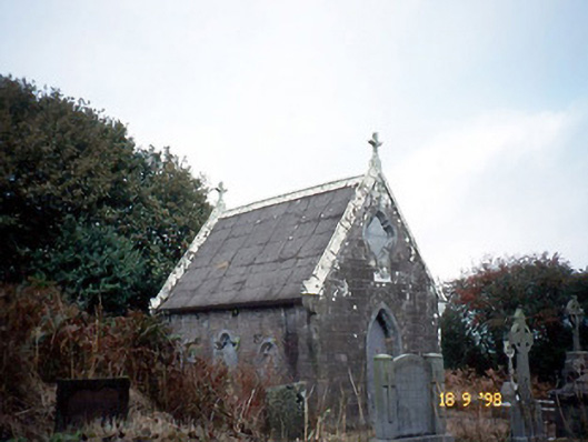 Reilig Ráithín Uí Bhuaigh [Reheenyhooig Graveyard]mausoleum · 1.2 mi
 Dingle Marina Dive CentreHeritage attraction · 1.5 mi
 An Chathair AirdMountain / peak · 1.6 mi
 Memorial to all who lost their lives in our seas.Memorial · 1.6 mi
 Charles HaugheyMemorial · 1.6 mi
 Binn BreacMountain / peak · 1.9 mi
 Caol Cronin - SeascapesGallery · 1.9 mi