
What is recorded here
Kilbrack, on a gentle slope above Dingle Harbour, marked the last resting place for unbaptised children until the nineteenth century. Upright stones and shallow cairns still crowd the central earth, while a fractured cross stands beside an incomplete cist that echoes older burial forms. The boundary walls have changed, but the small, broken markers preserve a community’s tender desperation and its changing rules for death.
Kilbrack/An Chill Bhreac: The burial ground (KE043-211001-) here was used for the burial of unbaptised children until the 19th century (OSNB Dingle, book 2, 8). It is situated on a very gentle S facing slope overlooking Dingle Harbour, and consists of a sub-rectangular enclosure, 58m E-W x 27m N-S internally, which is bounded on its W, N and E sides by modern stone field fences and on its S side by a low wall, with a stone and earth core, no more than .6m high.
The burial area occupies a central position within the enclosure and consists of a slightly raised, irregularly-shaped area occupied by a profusion of low upright stones, aligned N-S, and a few very low cairns of stones. Standing loosely in one of these cairns is a cross-inscribed stone (KE043-211002-) measuring .88m in height x .15m in width. One face is inscribed with a cross with expanded terminals, the left arm now completely removed by spalling and the upper arm only partially preserved.
In the E part of the enclosure, at the E end of a low stone and earth mound, is a stone feature resembling the large cist graves at Coumduff (KE044-019----). It is formed by 3 stones set on edge, .7 to .9m in height, but does not appear to be complete.
A kink in the field wall to SE of the latter feature may mark the site of a clochaun (KE043-211003-) but the only evidence for this is the slight corbelling of the wall face at this point.
The only other features visible in the interior are several low banks or mounds of earth and stones, stone faced in parts. Some of these appear to delimit the burial area but the function of the others is uncertain, though it is possible that they may be the remains of houses.
The above description is derived from J. Cuppage, ‘Corca Dhuibhne. Dingle Peninsula archaeological survey. Ballyferriter. Oidhreacht Chorca Dhuibhne’ (1986), no. 869. In certain instances the entries have been revised and updated in the light of recent research.
Date of upload: 8 August 2013
The monument record does not grant public access. Check the route and ask the landowner before entering private land.
- What survives
- Recorded monument
Places near here
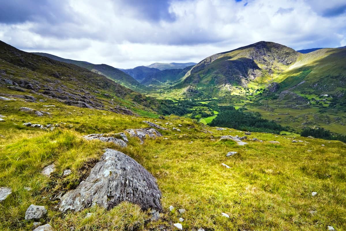 Man-made underground passage in Cnoc Na HabhaMan-made underground passage · 379 yd
 Lios na bhFonsaíArchaeological place · 839 yd
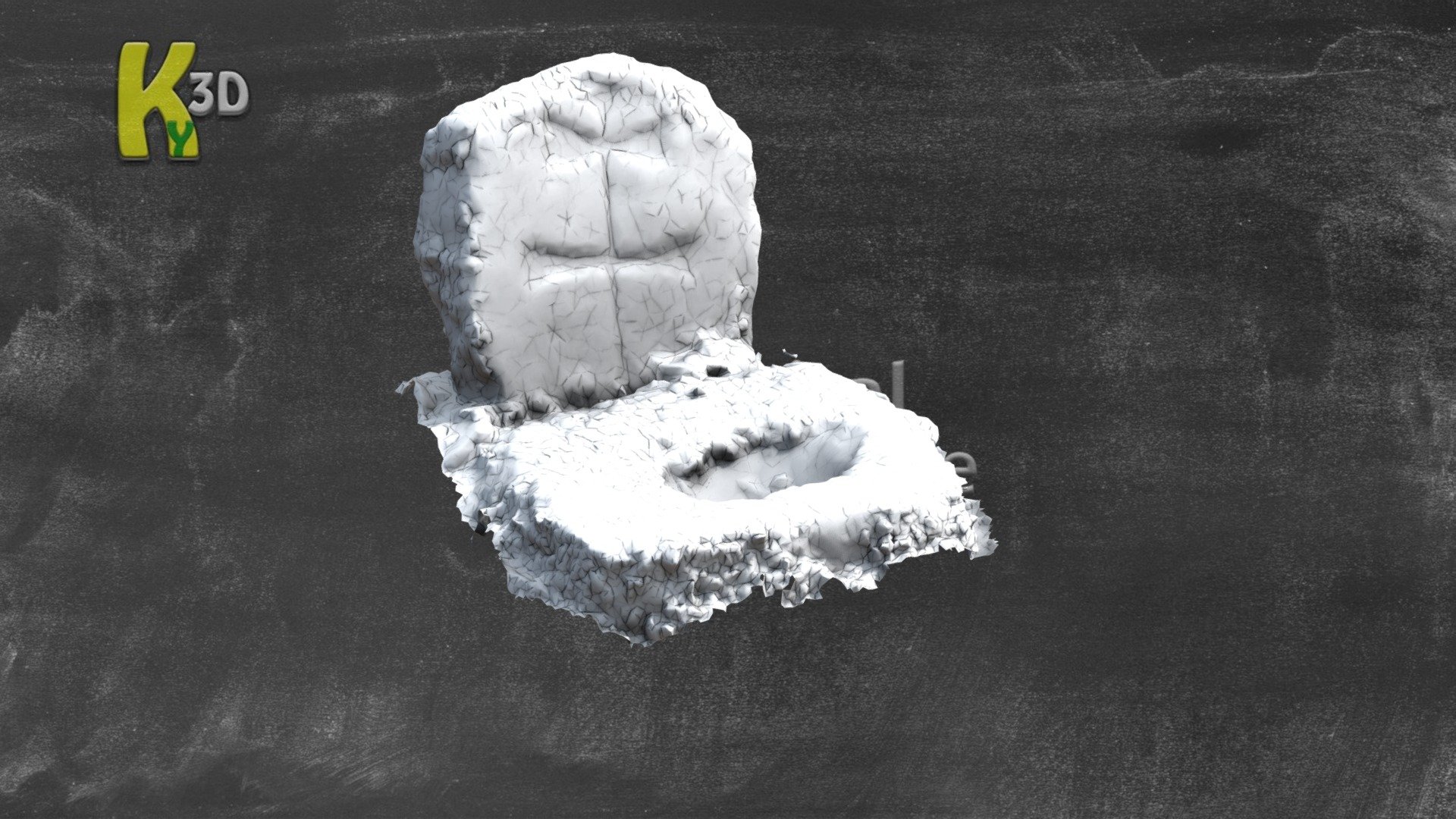 CastleCastle, unclassified · 1394 yd
 Site of Ballingolin CastleArchaeological place · 1401 yd
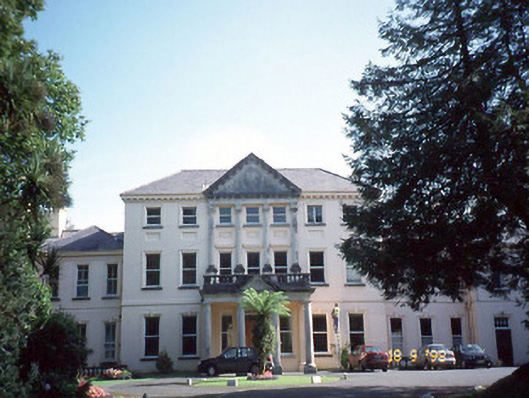 Coláiste Ídecountry house · 1610 yd
 Dingle Marina Dive CentreHeritage attraction · 1.0 mi
 Memorial to all who lost their lives in our seas.Memorial · 1.1 mi
 Charles HaugheyMemorial · 1.1 mi
 Church in Cill FhiontainChurch · 1.2 mi
 Caol Cronin - SeascapesGallery · 1.4 mi
 Cnoc na CeathrúnMountain / peak · 1.9 mi
 Binn BreacMountain / peak · 2.1 mi
Other information
Photo: Credit not shown in the picture search · Rights wording not checked; contact us if this picture should be removed