What is recorded here
Number 654 in the Dingle survey, the Cluain Searrach fort is a level, semi-circular platform twenty metres wide, set into the north corner of a field above the Owenmore estuary. Straight walls cut its northern and eastern edges like a knife through a living thing, leaving the southern curve open to the river light. It is no greater than a house garden, yet it holds the shape of a fort because people kept calling it a fort. The river probably gave it life, bringing boats, trade and danger to that small white edge on the hill.
A semi-circular, level platform situated in the N corner of a field, on a SE facing slope overlooking the estuary of the Owenmore river. It is defined to NW and NE by straight field walls. It measures 20.2m NE-SW and 23m NW-SE across its upper surface, and is .9m high above the surrounding field on the downslope side. It is named 'Fort' on the Fair Plan.
The above description is derived from J. Cuppage, ‘Corca Dhuibhne. Dingle Peninsula archaeological survey. Ballyferriter. Oidhreacht Chorca Dhuibhne’ (1986), no. 654. In certain instances the entries have been revised and updated in the light of recent research.
Date of upload: 7 August 2013
The monument record does not grant public access. Check the route and ask the landowner before entering private land.
- What survives
- Recorded monument
Places near here
 Fairy fort / earthen ringfort in Baile Na LeacanFairy fort / earthen ringfort · 723 yd
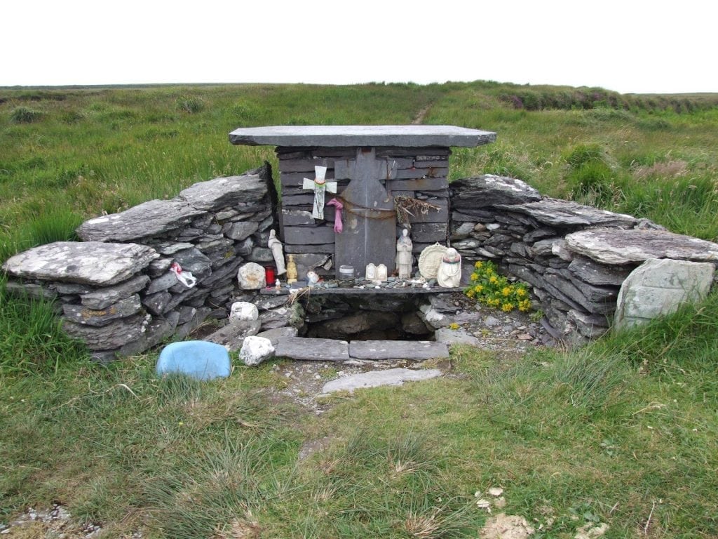 St. Brendans WellHoly well · 794 yd
 Cloghane ChurchRuins · 802 yd
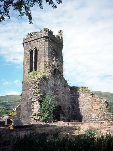 Séipéal an Clochán [Cloghane Church]church/chapel · 803 yd
 An CheapaighBeach / strand · 1677 yd
 An t'Oileán DubhIslet · 1.0 mi
 Drom BeachBeach / strand · 1.1 mi
 Pointe na CathrachHeadland · 1.9 mi
 Site of CastleCastle, unclassified · 2.1 mi
 World War II plane crash site: Engine of Focke-Wulf Fw 200 CondorHeritage attraction · 2.4 mi
 Hillville WoodWood · 2.6 mi
 Cnoc DuíléibheMountain / peak · 2.8 mi