What is recorded here
Fairy forts are earthen ringforts abandoned before written records. Cloverhill Demesne holds one: a raised circular area, 42.5 metres across internally, enclosed by a low earthen bank and a wide shallow fosse. The original entrance has disappeared, but a large circular platform, 24.3 metres across and 0.6 metres high, still occupies the centre with slight traces of its own surrounding bank. The fosse and outer bank have been modified and incorporated into the field boundary, yet the shape remains clear enough to walk around and imagine.
Raised circular area (int. diam. 42.5m) enclosed by a low earthen bank and a wide, shallow fosse. Fosse and bank have been modified and incorporated into the field boundary. Original entrance not recognisable. The centre of the enclosed area is occupied by a large circular platform (diam. 24.3m; H 0.6m) with slight traces of an enclosing low earthen bank about its perimeter.
The above description is derived from the published 'Archaeological Inventory of County Cavan' (Dublin: Stationery Office, 1995). In certain instances the entries have been revised and updated in the light of recent research.
Date of upload/revision: 22 December 2008
The monument record does not grant public access. Check the route and ask the landowner before entering private land.
- What survives
- Recorded monument
Places near here
 Cloverhill DemesneForest · 235 yd
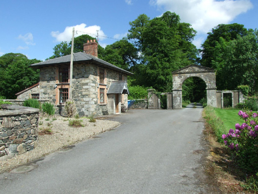 Cloverhilldemesne walls/gates/railings · 511 yd
 Saint John's Church (Annagh)church/chapel · 583 yd
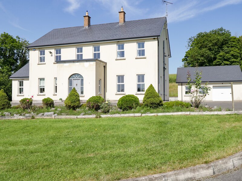 Rock WoodWood · 851 yd
 IndicatedFairy fort / earthen ringfort · 940 yd
 Bawn in KillyfanaBawn · 1.5 mi
 Friars Fort (Site of)Enclosure · 1.6 mi
 Annagh Lough BeachBeach / strand · 1.7 mi
 DrumcalpinMountain / peak · 2.0 mi
 DrumakeenanMountain / peak · 2.3 mi
 Grilly Castle in RuinsCastle, unclassified · 2.4 mi
 Giants GraveArchaeological place · 2.8 mi