What is recorded here
Cloonscott holds a substantial earthen ringfort, not a mere fairy tale. Its broad bank encloses a large oval space, while a narrow south-eastern gap marks the entrance. The west side has suffered, but the remaining structure still declares itself across the ridge.
A short distance off the crest of a low ridge. A raised subcircular area (c. 30m N-S; c. 28m E-W) enclosed by a substantial bank of earth and stone (Wth 6m; H 0.6-0.9m). From W-WNW-NW the bank has been levelled and the defining element is a low scarp (H 0.1-0.3m). The outline of an infilled external fosse is visible. A break (Wth 3m) in the bank at SSE marks the original entrance.
Compiled by: Patrick F. O'Donovan
Date of upload: 29 November 2011
The monument record does not grant public access. Check the route and ask the landowner before entering private land.
- What survives
- Recorded monument
Places near here
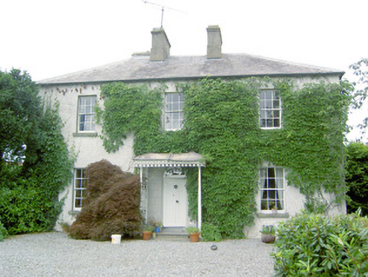 Torboy Househouse · 1067 yd
 IndicatedEnclosure · 1276 yd
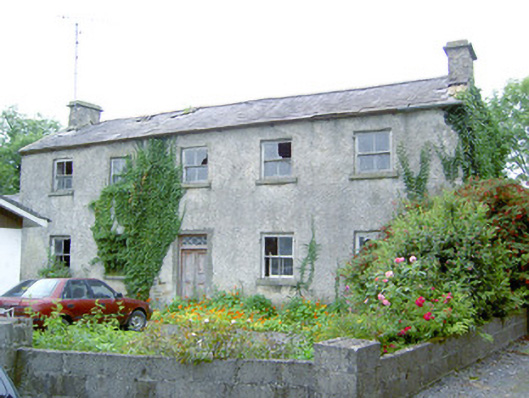 Keel Househouse · 1635 yd
 fort HachuredFairy fort / earthen ringfort · 1694 yd
 Mornin Castle (in Ruins)Castle, tower house · 1.3 mi
 National Famine WayWalking route · 1.4 mi
 Bawn in CastlereaBawn · 1.6 mi
 Corlea Bog Walk Canal BranchWalking route · 4.1 mi
 Corlea Trackway Interpretative CentreHeritage attraction · 4.3 mi
 Graveyard in Curry (ardagh By., Coolamber Ed)Graveyard · 4.6 mi
 Newcastle WoodsForest · 4.9 mi
 Leveret IslandIslet · 8.9 mi