What is recorded here
No visible wall remains, but a field boundary still cuts the ghost of a fort on a Cloonkeen hill. The survey marked it as a fort before the land was divided, suggesting people lived there long enough to be remembered. The soil may have swallowed the stone, yet the line across the ground preserves the shape of a lost home.
On a hill. Depicted as the SE half of a circular enclosure with the designation 'Fort' on the 1837 ed. of the OS 6-inch map. A NE-SW running field boundary cut the monument at ENE and WSW. Not visible at ground level.
Compiled by: Patrick F. O'Donovan
Date of upload: 29 November 2011
The monument record does not grant public access. Check the route and ask the landowner before entering private land.
- What survives
- Recorded monument
Places near here
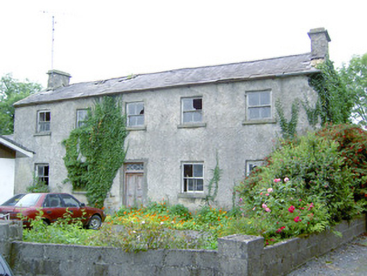 Keel Househouse · 985 yd
 IndicatedEnclosure · 1524 yd
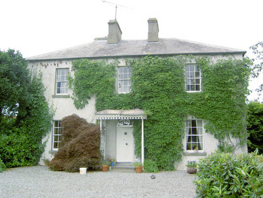 Torboy Househouse · 1.0 mi
 fort HachuredFairy fort / earthen ringfort · 1.3 mi
 Mornin Castle (in Ruins)Castle, tower house · 1.4 mi
 National Famine WayWalking route · 1.5 mi
 Bawn in CastlereaBawn · 1.7 mi
 Corlea Bog Walk Canal BranchWalking route · 4.5 mi
 Corlea Trackway Interpretative CentreHeritage attraction · 4.7 mi
 Graveyard in Curry (ardagh By., Coolamber Ed)Graveyard · 4.8 mi
 Newcastle WoodsForest · 5.0 mi
 Leveret IslandIslet · 9.2 mi