What is recorded here
Clooncrippa holds a forty-metre circular scar where a curving road respects an ancient arc rather than cutting through it. Earthen banks and a deepened drainage ditch mark the boundary of a place people stopped using but never forgot. The road itself became the missing wall, bending around the hidden heart of the fort.
In level pasture. Circular area (diam. c. 40m) enclosed NE->NW by earthen bank (int. H 0.35m; ext. H 1.2m) with external fosse (D 0.9m; Wth 1.2m), and defined NW->NE by public road which curves to respect arc of enclosure. Level interior is under pasture at centre, but perimeter and enclosing element are covered by dense overgrowth. Fosse has been deepened and incorporated into field drainage system E->S.
Compiled by: Denis Power
Date of upload: 26 August 2011
A fairy fort / earthen ringfort in Clooncrippa is a circular early-medieval defensive or domestic site, likely dating to between the 5th and 10th centuries AD. The structure's partial preservation and local name suggest associations with both ancient settlement and later folklore concerning faeries or supernatural inhabitants.
The monument record does not grant public access. Check the route and ask the landowner before entering private land.
- What survives
- Recorded monument
Places near here
 BarrowBarrow, ring-barrow · 637 yd
 Moated site in BallinruaneMoated site · 1621 yd
 Heathfield Housecountry house · 1.1 mi
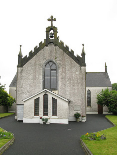 Saint Ita's Catholic Churchchurch/chapel · 1.2 mi
 CastleCastle, unclassified · 1.7 mi
 Our Lady's WellSpring · 2.3 mi
 Garbally WellSpring · 2.7 mi
 Mayne Ho.Castle, unclassified · 3.4 mi
 National Co-op MuseumMuseum · 4.9 mi
 Famine stoneMemorial · 5.1 mi
 KnockfeerinaMountain / peak · 5.3 mi
 Ballagh MountainMountain / peak · 9.2 mi