What is recorded here
Clooncrippa holds a forty-two metre ring where cattle still grind the earthen bank into powder. The gap at west-south faces the setting sun like a door left open for whoever walks without feet. What was built there has been forgotten by every human tongue, but the shape remains patient in the pasture, waiting to be remembered or swallowed by grass.
In pasture, on gentle S-facing slope. Circular area (diam. 42m) enclosed by earthen bank (int. H 1m; ext. H 1.25m) with external fosse (D c. 0.1m: Wth 0.8m) which is intermittent and indistinct. Bank is partially covered by dense overgrowth, and heavily eroded by cattle ENE->NW. Gap (Wth 2m) in bank at WSW; fosse infilled with rubble in this area. Recent farm trackway skirts fosse at SW; surrounding field boundaries have been removed.
Compiled by: Denis Power
Date of upload: 26 August 2011
The monument record does not grant public access. Check the route and ask the landowner before entering private land.
- What survives
- Recorded monument
Places near here
 BarrowBarrow, ring-barrow · 847 yd
 Moated site in BallinruaneMoated site · 1552 yd
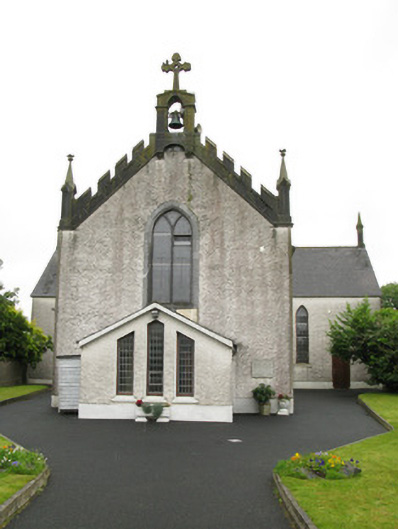 Saint Ita's Catholic Churchchurch/chapel · 1.1 mi
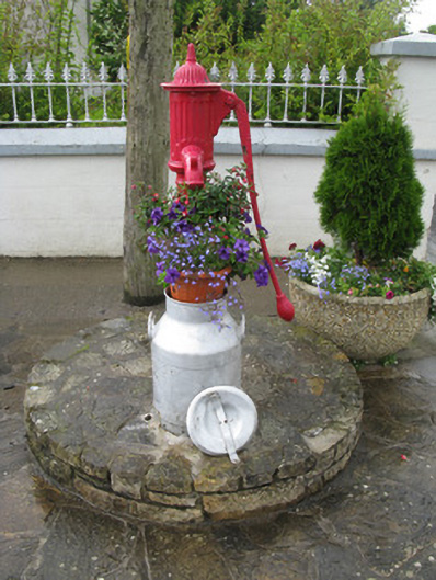 water pumpwater pump · 1.1 mi
 CastleCastle, unclassified · 1.7 mi
 Our Lady's WellSpring · 2.4 mi
 Garbally WellSpring · 2.7 mi
 Mayne Ho.Castle, unclassified · 3.3 mi
 National Co-op MuseumMuseum · 4.8 mi
 Famine stoneMemorial · 5.2 mi
 KnockfeerinaMountain / peak · 5.4 mi
 Ballagh MountainMountain / peak · 9.2 mi