What is recorded here
No visible gap remains in the earthen wall, yet the ring encloses thirty-eight metres of quiet grass on a low ridge. People may have lived inside that hidden door, facing east towards sunrise and the changing weather. The fairies took the fort later, as they do everywhere the truth becomes unclear.
Located towards the top of the E-facing slope of a low NNW-SSE drumlin ridge. This is an overgrown circular area (int. diam. 38.5m E-W) defined by an earthen bank (Wth 4.5m at S to 6.1m at W; int. H 0.2-0.5m generally to 0.9m at W; ext. H 0.5m at S to 1.3-1.9m generally) and an outer fosse (Wth of top 5.8-6m; Wth of base 0.5-1.8m; ext. D 1-1.4m) which is disturbed at SE by a field bank. The original entrance is not identified.
The above description is derived from 'The Archaeological Inventory of County Leitrim' compiled by Michael J. Moore (Dublin: Stationery Office, 2003). In certain instances the entries have been revised and updated in the light of recent research.
Compiled by: Michael Moore
Date of upload: 23 September 2008
Amended: 7 January 2020
The monument record does not grant public access. Check the route and ask the landowner before entering private land.
- What survives
- Recorded monument
Places near here
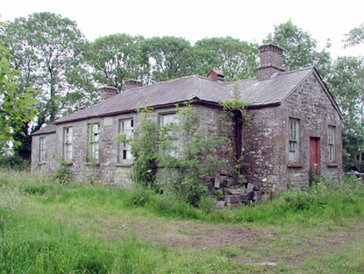 Clooneagh National Schoolschool · 1245 yd
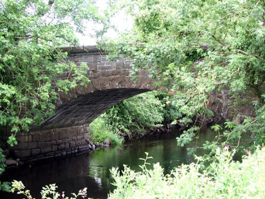 Johnston's Bridgebridge · 1.2 mi
 IndicatedFairy fort / earthen ringfort · 1.5 mi
 Derrinch IslandIslet · 1.9 mi
 Grave YardGraveyard · 2.0 mi
 OratoryCastle, tower house · 2.3 mi
 Cavan & Leitrim RailwayMuseum · 2.6 mi
 Pigeon IslandIslet · 2.7 mi
 Western HemlockWestern Hemlock · 3.3 mi
 Holm OakHolm Oak · 3.3 mi
 CastleCastle, unclassified · 4.3 mi
 Giant's GraveArchaeological place · 4.6 mi