What is recorded here
Situated in flat, low-lying pasture. Depicted as a circular earthwork and annotated ‘Danish Fort’ on an estate map dating from 1820 (NLI MS 14 A. 25). Not depicted on the 1837 ed. OS 6-inch map or on the revised 1913 ed. OS 25-inch map. Levelled monument described in 1983 as no surface remains visible. Monument is not visible today on Digital Globe aerial photography.
Compiled by Alison McQueen, Vera Rahilly and Caimin O’Brien.
Date of upload: 22 November 2019
The monument record does not grant public access. Check the route and ask the landowner before entering private land.
- What survives
- Recorded monument
Places near here
 Cloonbonny Househouse · 407 yd
 Cloonbonny Bridgebridge · 837 yd
 OutlinedFairy fort / earthen ringfort · 1.2 mi
 Castle O'BrienCastle · 1.5 mi
 Long IslandIsland · 1.5 mi
 Inauguration site in CarrickobreenInauguration site · 1.8 mi
 Wren's IslandIslet · 2.0 mi
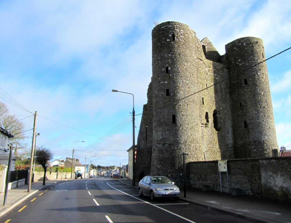 GarrycastleCastle · 2.2 mi
 European ashEuropean ash · 2.7 mi
 Athlone Music MuseumMuseum · 3.2 mi
 Bastion GalleryGallery · 3.3 mi