What is recorded here
Situated on a rise in pasture, with good views of the surrounding landscape. Annotated 'Fort' on the 1837 OS Fair Plan map and depicted as an oval-shaped enclosure. Depicted on the revised 1910 ed. OS 25-inch map as an oval-shaped earthwork (dims. 60m N-S; 50m E-W). Monument described in 1973 as a roughly oval-shaped area enclosed by an inner bank, an intervening fosse and an outer bank. The inner bank is present from WSW-W-N-NE, is reduced to a scarp from NE-E-ESE and is probably incorporated into a field boundary from ESE-S-WSW. An intervening fosse is visible from WSW-W-N-NE and appears to be obscured from NE-E-ESE by a later field boundary running NW-SE. There is a gap at W however this may be modern. The interior rises from the perimeter towards the centre and some small boulders project from the surface. A children’s burial ground (WM029-035001-) is reputed to be within. Monument is visible today as a roughly oval-shaped tree-lined enclosure on Digital Globe aerial photography.
Compiled by Alison McQueen, Vera Rahilly and Caimin O’Brien.
Date of upload: 07 November 2019
The monument record does not grant public access. Check the route and ask the landowner before entering private land.
- What survives
- Recorded monument
Places near here
 Fardrum Househouse · 408 yd
 Cloonbonny Bridgebridge · 591 yd
 OutlinedFairy fort / earthen ringfort · 1403 yd
 Castle O'BrienCastle · 1.1 mi
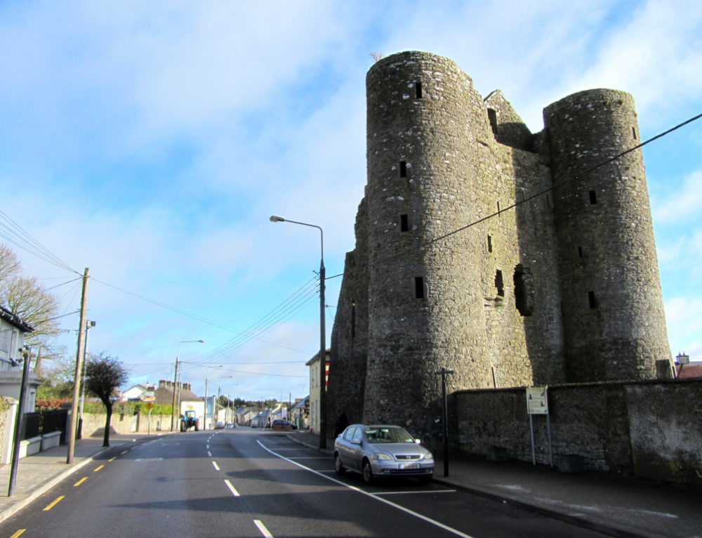 GarrycastleCastle · 1.8 mi
 Inauguration site in CarrickobreenInauguration site · 2.0 mi
 Long IslandIsland · 2.0 mi
 Wren's IslandIslet · 2.2 mi
 European ashEuropean ash · 2.8 mi
 Athlone Music MuseumMuseum · 3.1 mi
 1916 Centenery CommemorationMemorial · 3.2 mi