What is recorded here
Half a metre of earth still holds the shape of a twenty-foot circle in Cloonbannin East, though a field boundary cut clean through it centuries ago. The fort is small enough to walk in seconds, yet it survived ploughs and pasture because someone kept returning to that exact spot. Perhaps the fairies never left, or perhaps people simply refused to erase it. Either way, the ring endures where human pride would have vanished.
In pasture, on gentle S-facing slope. Depicted as hachured circular enclosure (diam. c. 20m) on 1842 OS 6-inch map, bisected by NE-SW field boundary off centre to NW. Circular area (diam. 24.9m) defined by low rise (ext. H 0.3m) NNE->W; no visible surface trace of enclosure to NW of field boundary.
The above description is derived from the published 'Archaeological Inventory of County Cork. Volume 4: North Cork' (Dublin: Stationery Office, 2000). In certain instances the entries have been revised and updated in the light of recent research.
Date of upload/revision: 14 January 2009
The monument record does not grant public access. Check the route and ask the landowner before entering private land.
- What survives
- Recorded monument
Places near here
 Fulacht fia in Cloonbannin WestFulacht fia · 482 yd
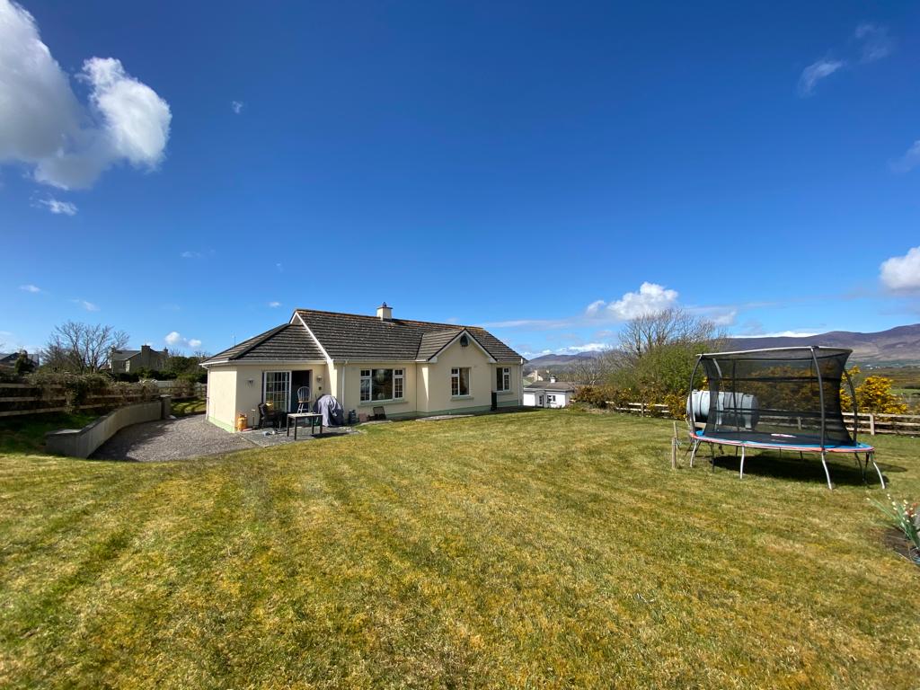 Man-made underground passage in Cloonbannin EastMan-made underground passage · 521 yd
 IndicatedHouse, vernacular house · 846 yd
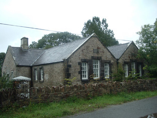 Old School Houseschool · 1136 yd
 Drominagh Castle (Site of)Castle, unclassified · 1193 yd
 Castle (Site of)Bawn · 2.5 mi
 Rathcool WoodWood · 3.5 mi
 Battle of Knocknaclashybattle · 3.5 mi
 Millstreet Tourist InformationVisitor information · 5.1 mi
 St. Patrick's ChurchVisitor information · 5.1 mi
 Millstreet Museum & Tourist Information CentreMuseum · 5.1 mi
 Kanturk CastleHeritage attraction · 5.9 mi