What is recorded here
Magic is not required to explain the charred clay or the broken ring. The fort still stands in Cloonbannin East, its earth bank marking a small life held together against the weather. What is missing has not stopped the shape from remaining visible.
In pasture, atop E-W ridge, sloping gently down to E. Circular, slightly raised area (diam. c. 32m) enclosed by earthen bank (int. H 1.4m; ext. H 3.2m); external fosse (D 0.5m) to E and W. Break in bank to ESE and SW. Outer face of bank cut back to N (NW->NNE) to make straight side and material used to infill fosse; exposed face shows section through bowl-shaped feature (H 1.16m; Wth 1.08m) containing charcoal and red burnt clay; traces of second similar feature noted 1.5m to W of above. No visible surface trace of lime kiln depicted at W side of interior on 1842 OS 6-inch map, except bank high on this side.
The above description is derived from the published 'Archaeological Inventory of County Cork. Volume 4: North Cork' (Dublin: Stationery Office, 2000). In certain instances the entries have been revised and updated in the light of recent research.
Date of upload/revision: 14 January 2009
The monument record does not grant public access. Check the route and ask the landowner before entering private land.
- What survives
- Recorded monument
Places near here
 Man-made underground passage in Cloonbannin EastMan-made underground passage · 570 yd
 Fulacht fia in Cloonbannin WestFulacht fia · 674 yd
 Drominagh Castle (Site of)Castle, unclassified · 1042 yd
 IndicatedHouse, vernacular house · 1070 yd
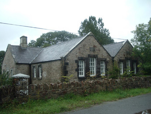 Old School Houseschool · 1365 yd
 Castle (Site of)Bawn · 2.5 mi
 Battle of Knocknaclashybattle · 3.6 mi
 Rathcool WoodWood · 3.6 mi
 Kanturk CastleHeritage attraction · 5.8 mi
 RowanRowan · 6.1 mi
 St Fursey's WellSpring · 6.8 mi
 Mount Hillary - Knightfield LoopWalking route · 7.6 mi