What is recorded here
No visible mound remains on the elevated pasture, yet the D-shaped enclosure measured twenty metres across on later surveys. Human hands built that rim before ploughs or gravity erased it, likely surrounding a home, a shrine or a boundary marker now forgotten. The fairies keep the lost shape in local thought because people still recognize the place as set apart.
In pasture, located on elevated ground. There is a gradual fall of ground to E for c. 120m towards a N-S drain/canalised stream, which marks the E boundary of the townland.
This possible rath is not shown on the 1838 OS 6-inch map. It is depicted on the 1922 edition as a D-shaped hachured enclosure (c. 20m NE-SW; c. 20m NW-SE) bordered on the straight side at SW by a field boundary. It has been levelled; there are no visible remains at ground level.
Compiled by: Jane O'Shaughnessy
Date of upload: 17 July 2019
This remains an important historical record, but the official description says the monument is no longer visible or has been destroyed. The monument record does not grant public access. Check the route and ask the landowner before entering private land.
- What survives
- No visible remains or recorded as destroyed
Places near here
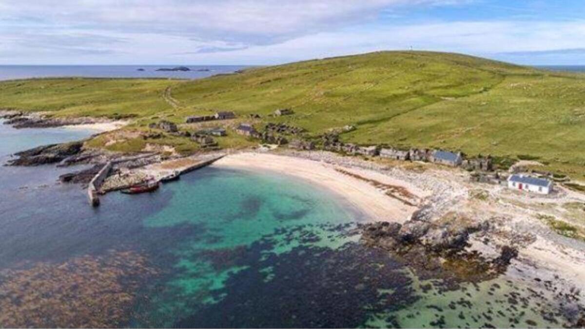 IndicatedFairy fort / earthen ringfort · 548 yd
 Enclosure in BallycarroonEnclosure · 729 yd
 Enaghmore Castle (in Ruins)Castle, unclassified · 1241 yd
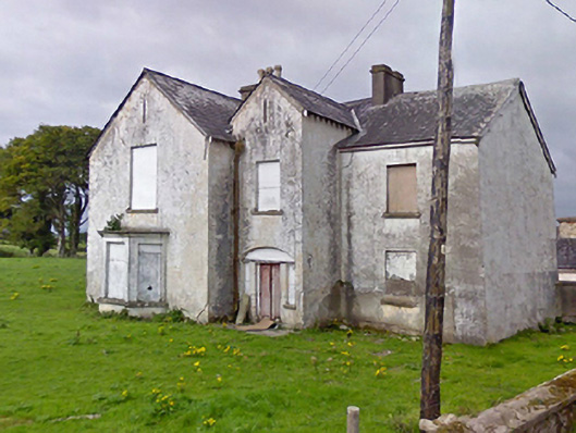 Rosevalefarm house · 1.1 mi
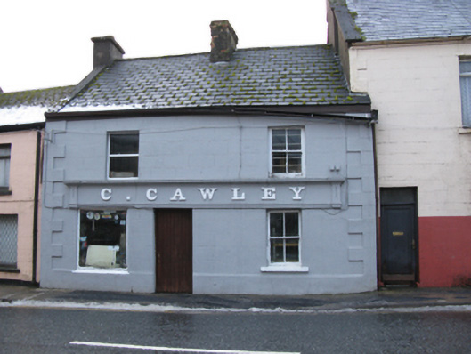 C. Cawleyhouse · 1.1 mi
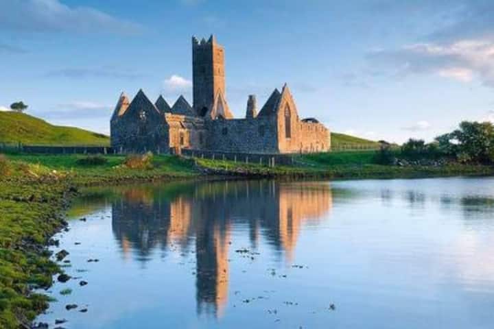 Castle in RuinsCastle, tower house · 1.1 mi
 Grave of the KingsArchaeological place · 1.4 mi
 Castle IslandIslet · 2.9 mi
 Roe IslandIslet · 3.2 mi
 Titanic Memorial ParkMemorial · 4.5 mi
 KnockaffertaghMountain / peak · 8.8 mi
 BirreencorraghMountain / peak · 9.5 mi