What is recorded here
No visible wall, no chamber, no chamber. Only a shallow dip and a forgotten name. The land keeps what people stopped seeing.
On N-facing slope of a steep rise in grassland. Very poorly preserved circular rath (D 28m) defined by a degraded scarp. Within the interior is a CBG (GA016-040001-).
The above description is derived from the published 'Archaeological Inventory of County Galway Vol. II - North Galway'. Compiled by Olive Alcock, Kathy de hÓra and Paul Gosling (Dublin: Stationery Office, 1999).
Date of upload: 05 August 2010
The monument record does not grant public access. Check the route and ask the landowner before entering private land.
- What survives
- Recorded monument
Places near here
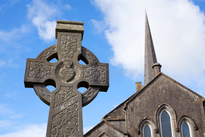 Stone CrossCross, High cross · 1306 yd
 CrossCross, High cross (present location) · 1331 yd
 Abbey in ruinsChurch · 1362 yd
 Church in ConagherChurch · 1.8 mi
 Bawn in Kilcloony (dunmore By.)Bawn · 2.1 mi
 Site of Doonbally CastleCastle, unclassified · 2.4 mi
 European ashEuropean ash · 5.7 mi
 Mass RockNamed rock · 7.2 mi
 KnockmaaWood · 11 mi
 IndicatedEnclosure · 1711 yd
 Enclosure in RusselstownEnclosure · 1.0 mi
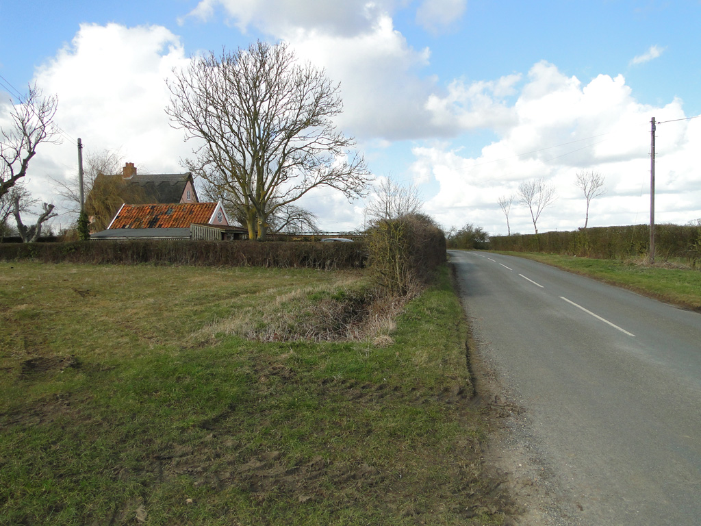 Cuckoo HillFairy fort / ringfort · 1.4 mi