What is recorded here
Magic and mystery surround the area, yet no facts support that claim. The area contains a grass and rush-covered subcircular zone, forty-four metres across, defined by an overgrown earthen bank and an external drainage cut. People may have lived there, farmed there or simply passed through, but the earth has kept that part of the story to itself.
Located towards the E end of an E-W drumlin ridge. This is a grass and rush-covered subcircular area (dims 44m E-W; 40m N-S; int. dims 37.4m E-W; 33.8m N-S) defined by an overgrown earthen bank (Wth 6-7.2m; int. H 0.2m; ext. H 0.7m at N to 1.6-1.8m generally), with evidence of an external fosse (Wth of base 2-3.7m; ext. D 0.5-0.9m) which was recut as a drain (Wth of base 1.5m; D 0.5-1m) S-W. The entrance (Wth 2m) may have been at S and the site is circumscribed by a field bank E-S.
See the attached aerial view taken from the E.
The above description is derived from 'The Archaeological Inventory of County Leitrim' compiled by Michael J. Moore (Dublin: Stationery Office, 2003). In certain instances the entries have been revised and updated in the light of recent research.
Date of upload: 23 September 2008
The monument record does not grant public access. Check the route and ask the landowner before entering private land.
- What survives
- Recorded monument
Places near here
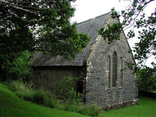 Creevelea Presbyterian Churchchurch/chapel · 710 yd
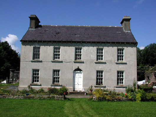 Glasdrumman Housefarm house · 1348 yd
 Sweat Ho.Sweathouse · 1671 yd
 fortsFairy fort / earthen ringfort · 1.3 mi
 Drummans IslandIslet · 4.5 mi
 Carrane HillCliff · 4.8 mi
 Green IslandIslet · 4.8 mi
 Old HallCastle, hall-house · 5.1 mi
 IndicatedBawn · 5.1 mi
 European ashEuropean ash · 5.2 mi
 Black PoplarBlack Poplar · 5.2 mi
 Seltannasaggart SE SlopeMountain / peak · 5.2 mi