What is recorded here
Half a kilometre from the last house, a broken ring of earth still marks the place where people lived before the fields took it back. The southern bank has flattened to a shallow ridge, but the northern curve rises high enough to block the horizon and the faded ditch beside it suggests the ground was shaped to keep something out. Whatever door they used has vanished under grass and time, leaving a circle that invites entry from everywhere and nowhere.
On a slight rise on the gentle S-facing slope of an E-W ridge. Listed as 'Enclosure' in the SMR (1992) and the RMP (1996). A circular overgrown area (int. diam. 34m NNE-SSW; 35m E-W) defined by an overgrown earthen bank (at NNE: Wth 3.2m; int. H 0.8m; ext. H 1.4m; at S: Wth 6m; int. H 0.2m; ext. H 0.8m), and an outer fosse (Wth of base 2m; ext. D 0.6m) NNW-SE. The original entrance could not be identified, and the site is circumvented by a field bank SE-NW.
Compiled by: Michael Moore
Date of upload: 27 April 2020
The monument record does not grant public access. Check the route and ask the landowner before entering private land.
- What survives
- Recorded monument
Places near here
 LisnacloonaghFairy fort / earthen ringfort · 1193 yd
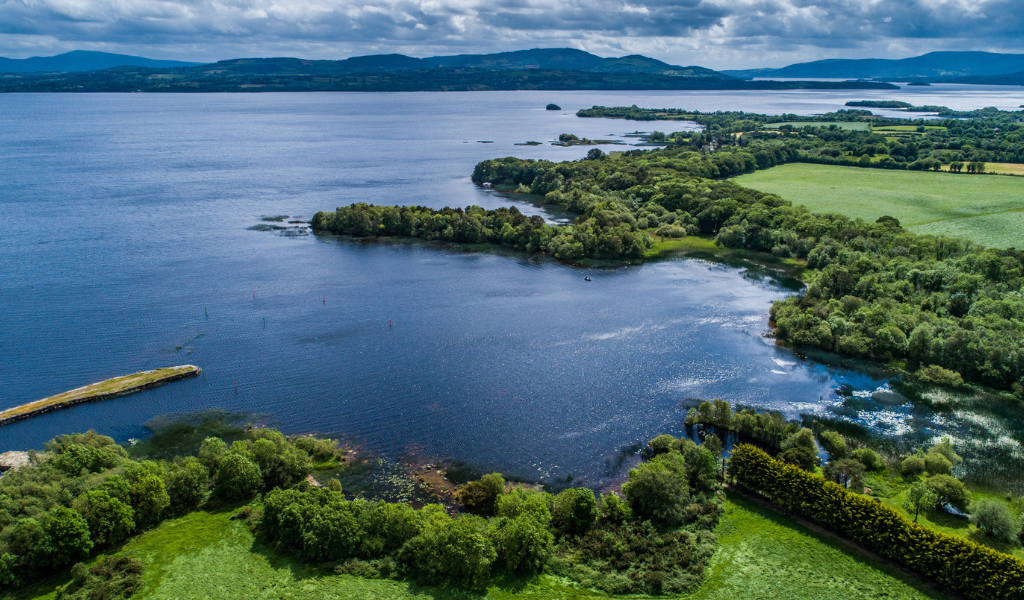 IndicatedEcclesiastical enclosure · 1332 yd
 Kilmurry Church (in ruins)Church · 1444 yd
 Finnor Castle (Site of)Castle, unclassified · 1575 yd
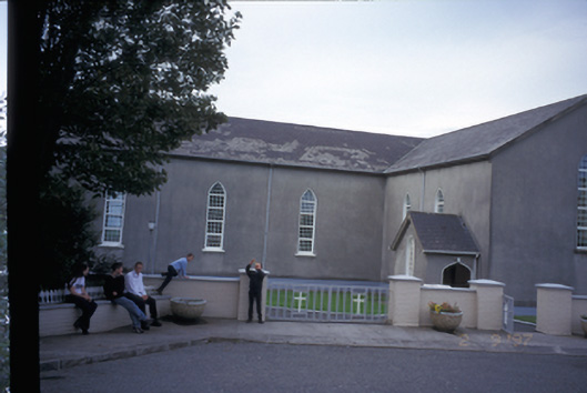 Saint Mary's Roman Catholic Churchchurch/chapel · 1.1 mi
 Tromra CastleCastle, tower house · 1.5 mi
 Emlagh PointHeadland · 2.1 mi
 Seafield North BeachBeach / strand · 2.1 mi
 Lurga PointHeadland · 2.4 mi
 Spanish Point BeachBeach / strand · 3.0 mi
 Doughmore BeachBeach / strand · 3.7 mi
 Mutton IslandIsland · 3.7 mi