What is recorded here
Fairy fort in Clontyduffy (nugent), County Cavan, Ireland: a slightly raised circular area about 35 metres across, marked by a low scarp. Its north-west to east-north-east edge has been lost under a modern roadway, and the original entrance no longer shows. What remains is a broken ring, half road and half memory, inviting wonder about the people who shaped it before the wheel took their boundary.
Remains of a slightly raised, originally circular area (int. diam. c. 35m) defined by a low scarp. From NW-N-ENE the perimeter has been destroyed and replaced by a modern roadway. Original entrance not recognisable.
The above description is derived from the published 'Archaeological Inventory of County Cavan' (Dublin: Stationery Office, 1995). In certain instances the entries have been revised and updated in the light of recent research.
Date of upload/revision: 22 December 2008
This remains an important historical record, but the official description says the monument is no longer visible or has been destroyed. The monument record does not grant public access. Check the route and ask the landowner before entering private land.
- What survives
- No visible remains or recorded as destroyed
Places near here
 IndicatedFairy fort / earthen ringfort · 1113 yd
 Stone CrossCross · 1114 yd
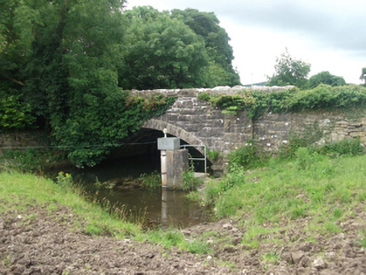 Ballinrink Bridgebridge · 1187 yd
 Bob's GroveForest · 1693 yd
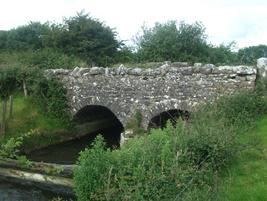 Ballinacree Bridgebridge · 1.2 mi
 The MoatCastle, motte and bailey · 2.0 mi
 CastleCastle, unclassified · 2.0 mi
 European BeechEuropean Beech · 2.0 mi
 Wall IslandIslet · 2.4 mi
 MullaghmeenMountain / peak · 2.5 mi
 Inchicup IslandIslet · 2.5 mi
 Mullaghmeen White WalkWalking route · 2.6 mi