What is recorded here
Fairy forts are not proven fairy homes, but people may have believed that. The fort in Clontyduffy has been levelled, so its shape and boundary no longer answer questions. What remains is a name, a lost earth bank and a warning that human pride can erase the very place it wants to possess.
Marked 'Fort' on OS 1836 and 1876 eds. An earlier report (OPW 1974) described a large subrectangular-shaped raised area (int. diam. 34m E-W) enclosed by a wide, low earthen bank. Original entrance was not recognisable. Site has since been levelled. Not visible at ground level.
The above description is derived from the published 'Archaeological Inventory of County Cavan' (Dublin: Stationery Office, 1995). In certain instances the entries have been revised and updated in the light of recent research.
Date of upload/revision: 22 December 2008
A fairy fort or earthen ringfort in Clontyduffy, likely dating to the early medieval period, is marked as a "Fort" on Ordnance Survey maps from 1836 and 1876. Described in a 1974 report as a large subrectangular raised area with a wide, low enclosing bank, it is associated with local folklore surrounding fairy activity and ancient habitation.
The monument record does not grant public access. Check the route and ask the landowner before entering private land.
- What survives
- Recorded monument
Places near here
 IndicatedFairy fort / earthen ringfort · 1000 yd
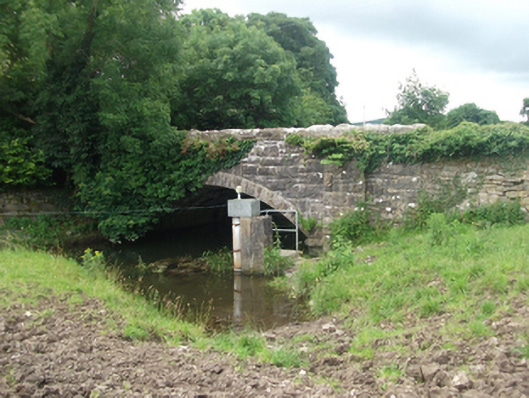 Ballinrink Bridgebridge · 1252 yd
 Stone CrossCross · 1276 yd
 Bob's GroveForest · 1535 yd
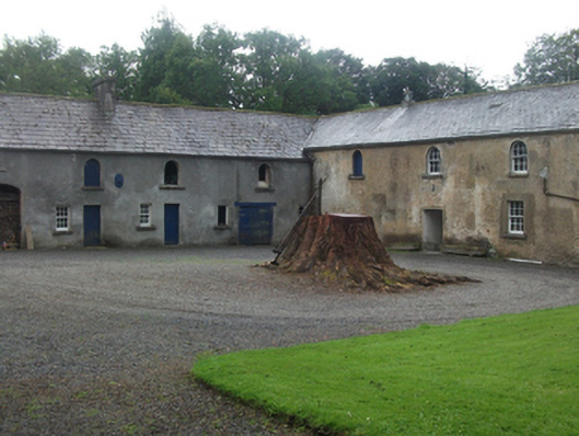 Farren Connellstables · 1.2 mi
 CastleCastle, motte · 2.0 mi
 The MoatCastle, motte and bailey · 2.1 mi
 European BeechEuropean Beech · 2.1 mi
 Wall IslandIslet · 2.3 mi
 Inchicup IslandIslet · 2.4 mi
 MullaghmeenMountain / peak · 2.5 mi
 Mullaghmeen White WalkWalking route · 2.6 mi