What is recorded here
Clonoony holds a broken circular fort beside Lakeview Lough, its earth bank still marking a small defended or owned place in the low Monaghan landscape. The Ulster Canal cut across part of the perimeter, proving that human routes have repeatedly claimed what the land tried to keep. It is not a fairy tale in shape, although local names often turn ordinary rings into fairy forts because they refuse to be fully explained.
Situated on a slight rise in a low-lying landscape between drumlins and c. 60m from the NW shore of Lakeview Lough, an inverted tear-drop lake (max. dims c. 420m N-S; c. 200m E-W) on the boundary with Co. Fermanagh to the S. An embanked enclosure (ext. diam. c. 30m) with trees on the bank is depicted on the 1834 edition of the OS 6-inch map where it is described in gothic lettering as a ‘fort’. The rath is described (Hardy and McNamara 2012, 7) as a circular overgrown area (diam. 26.5m E-W; 26m N-S) defined by an earthen bank (Wth c. 1.2m; int. H c. 0.2m; ext. H 0.7-1.2m) and outer fosse (Wth of base 1.35m) but the perimeter has been cut by a NE-SW tow-path of the Ulster Canal at NW.
The above description is derived from the published 'Archaeological Inventory of County Monaghan' (Dublin: Stationery Office, 1986). In certain instances the entries have been revised and updated in the light of recent research.
Revised by: Michael Moore
Date of revision: 08 May 2018
The monument record does not grant public access. Check the route and ask the landowner before entering private land.
- What survives
- Recorded monument
Places near here
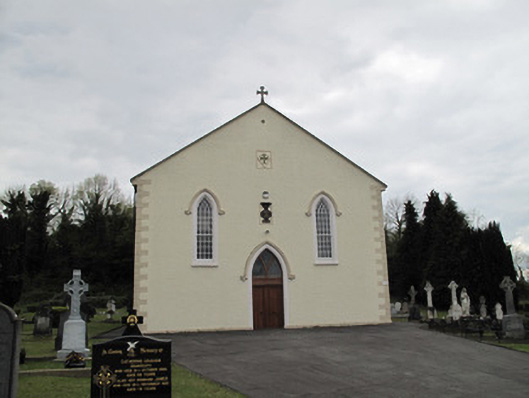 Saint Alphonsus's Catholic Churchchurch/chapel · 580 yd
 Saint Mary's Church (Drummully)church/chapel · 678 yd
 IndicatedCrannog · 1306 yd
 HOLY WELL in DrummullyHOLY WELL · 1574 yd
 ClonandraMountain / peak · 1.5 mi
 SandhillsMountain / peak · 2.0 mi
 Castle Saunderson DemesneForest · 2.0 mi
 Rabbit WarrenWood · 2.5 mi
 RuinsHouse, fortified house · 2.6 mi
 Bawn in KillyfanaBawn · 2.8 mi
 Ulster Canal Stores Visitor CentreHeritage attraction · 4.3 mi
 The Cassandra Hand CentreMuseum · 4.5 mi