What is recorded here
Fairy fort in Clonloskan, County Cavan, is a worn earthen ring beside the River Erne. Its shallow bank and broken entrance suggest a place where people once drew a line between inside and outside. The river may have carried life in and taken it out again. What remains is a circle large enough to hold several humans, quiet enough to forget they were there.
Situated adjacent to the N bank of the River Erne. Raised circular area (int. dims. 33.2m NE-SW; 32.6m NW-SE) enclosed by a very poorly preserved earthen bank and slight remains of a fosse identifiable only from SE-S. Break in bank at NE may represent original entrance.
The above description is derived from the published 'Archaeological Inventory of County Cavan' (Dublin: Stationery Office, 1995). In certain instances the entries have been revised and updated in the light of recent research.
Date of upload/revision: 22 December 2008
The monument record does not grant public access. Check the route and ask the landowner before entering private land.
- What survives
- Recorded monument
Places near here
 Lismore DemesneForest · 905 yd
 IndicatedFairy fort / earthen ringfort · 1340 yd
 DrumcarbanMountain / peak · 1362 yd
 White Lough ForestForest · 1379 yd
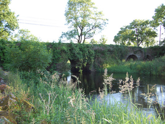 Bellahillan Bridgebridge · 1462 yd
 LismoreFairy fort / earthen ringfort · 1481 yd
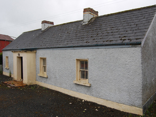 farm housefarm house · 1573 yd
 Lismore CastleCastle, unclassified · 1656 yd
 Cornafean GFCMemorial · 1.2 mi
 CorrMountain / peak · 1.7 mi
 Castle CosbyCastle, unclassified · 1.9 mi
 Red IslandIslet · 2.5 mi