What is recorded here
Mounds and hollows mark Clonkeiffy, where a broken earth bank still faces southeast and a faint causeway leads across the hollow. The circle measures twenty-six metres, large enough for houses, herds or argument, yet no name has survived to say which. Fairy fort is the local label, but the shape is human: a boundary drawn in soil, with an entrance made for coming and going.
Raised circular area (int. dims. 26.2m E-W; 24.7m N-S) enclosed by a low earthen bank and vague traces of a fosse. Break in bank at SE with remains of accompanying causeway represents original entrance. An earlier report (OPW 1969) recorded a small, low, subrectangular platform of unknown significance adjacent to the inner face of bank at WSW.
The above description is derived from the published 'Archaeological Inventory of County Cavan' (Dublin: Stationery Office, 1995). In certain instances the entries have been revised and updated in the light of recent research.
Date of upload/revision: 22 December 2008
The monument record does not grant public access. Check the route and ask the landowner before entering private land.
- What survives
- Recorded monument
Places near here
 Fennor LowerMountain / peak · 1164 yd
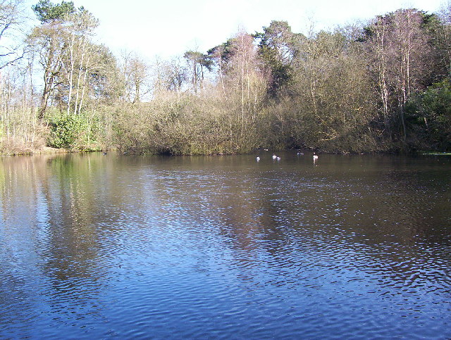 MoatFairy fort / earthen ringfort · 1451 yd
 Fennor RockMountain / peak · 1.1 mi
 Cave FortFairy fort / earthen ringfort · 1.2 mi
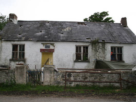 Garryross National Schoolschool · 1.3 mi
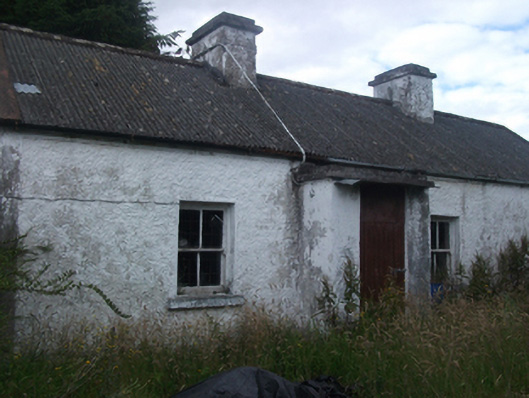 farm housefarm house · 1.4 mi
 CastleCastle, ringwork · 2.1 mi
 Memorial CrossMemorial · 2.2 mi
 Crossafehin IslandsIslet · 2.5 mi
 Fort Frederick DemesneForest · 2.7 mi
 Fort Frederick IslandsIslet · 2.7 mi
 Site of Old CastleCastle, unclassified · 3.1 mi