What is recorded here
One chamber, one door, one edge in a living landscape. Its size and shape still answer human hands. The region and era must fit those marks. What is missing must leave the claim alive, not force a false completion.
Situated on top of a drumlin. This rath or the one in Drumree (MO017-037----) could be the earthwork depicted on McCrea’s map of County Monaghan (1793). Although it is not depicted on the 1834 edition of the OS 6-inch map it is on the 1907 edition. This is a circular grass-covered area (diam. 21.5m N-S; 20.5m E-W) defined by an earthen bank (at N: Wth of base 2.2m; int. H 0.5m; ext. H 1.4m) that is largely reduced to an overgrown scarp, with a drain at its base S-WNW. The perimeter is planted with deciduous trees, and it has a break in the perimeter at NNW that appears to be damage but an original entrance is not identified.
The above description is derived from the published 'Archaeological Inventory of County Monaghan' (Dublin: Stationery Office, 1986). In certain instances the entries have been revised and updated in the light of recent research.
Revised by: Michael Moore
Date of revision: 8 May 2018
The monument record does not grant public access. Check the route and ask the landowner before entering private land.
- What survives
- Recorded monument
Places near here
 Indicated in plantingFairy fort / earthen ringfort · 346 yd
 IndicatedFairy fort / earthen ringfort · 418 yd
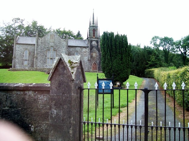 Newbliss Church (Killeevan)church/chapel · 908 yd
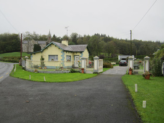 Newbliss Housegate lodge · 938 yd
 Tomb HillMountain / peak · 1.9 mi
 Common LimeCommon Lime · 2.1 mi
 KillycoonaghWood · 2.3 mi
 Saint John's WellSpring · 2.4 mi
 Roosky Castle (Site of)Castle, ringwork · 2.8 mi
 Lisarrilly HillMountain / peak · 3.0 mi
 Jaundice WellSpring · 3.9 mi
 Senator Billy Fox 1939 - 1974Memorial · 11 mi