What is recorded here
Cloncowan holds a vanished fairy fort where quarrying and forestry erased the earth ridge. Men dug through the site before measuring it, proving that human greed often consumes history rather than revealing it.
Situated on a meandering esker ridge which extends off to the N and NW but which has been quarried immediately to the SE and S. This was described in 1969 (SMR file) as a raised oval and grass-covered area (dims 35m NNW-SSE; 24m ENE-WSW) that slopes down steeply to the E and S (H 1.6m) defined by an overgrown fosse (Wth of top 6m; int. D 2.2m; ext. D 1.5m) SE-SSW but the fosse (Wth of top 9m; Wth of base 2.5m; int. D 2.5m; ext. D 1.4m) NW-NNE has been re-used as a roadway. Elsewhere the perimeter is reduced to a overgrown scarp and the fosse to a berm. The original entrance is not recognised. The visible profile had been removed by 1995 (OSAP), and it is now partially on a hard-stand within forestry (OSAP: 2017).
Archaeological testing (18E0196) by C. Duffy c. 50m to the NW produced no related material (excavations.ie 2018:486).
The above description is derived from the published 'Archaeological Inventory of County Meath' (Dublin: Stationery Office, 1987). In certain instances the entries have been revised and updated in the light of recent research.
Compiled by: Michael Moore
Date of revision: 12 August 2019
Amended: 29 April, 2021
The monument record does not grant public access. Check the route and ask the landowner before entering private land.
- What survives
- Recorded monument
Places near here
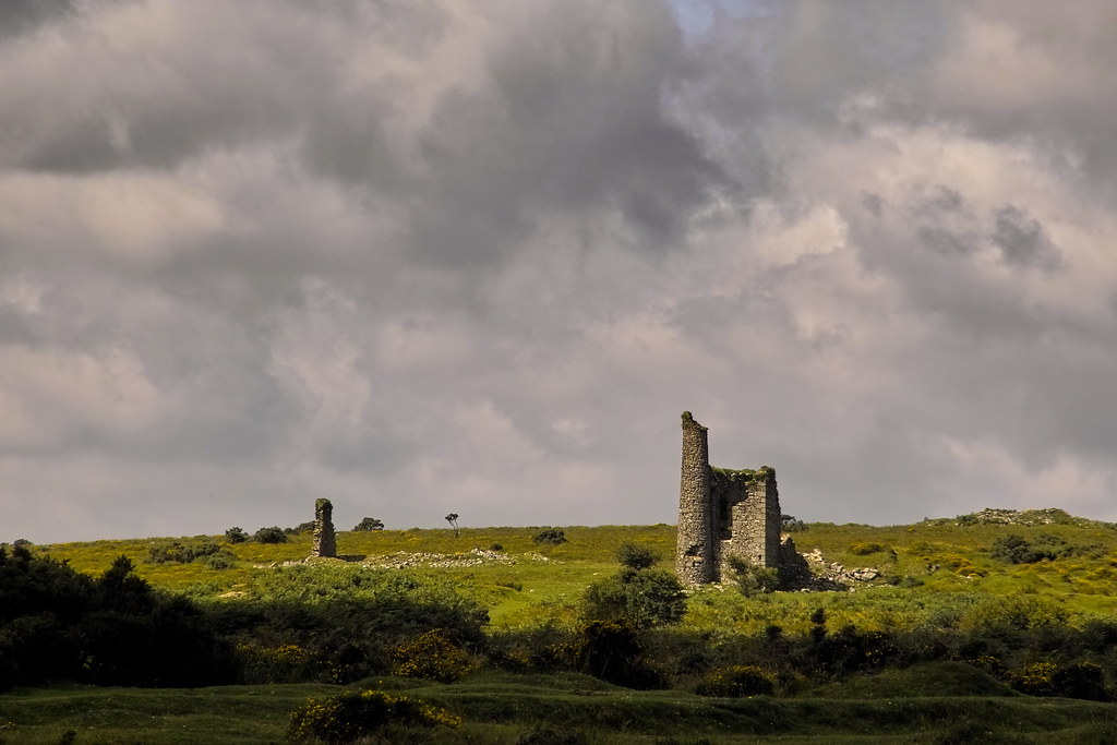 RuinChurch · 862 yd
 Concentric enclosure in DalystownConcentric enclosure · 1.8 mi
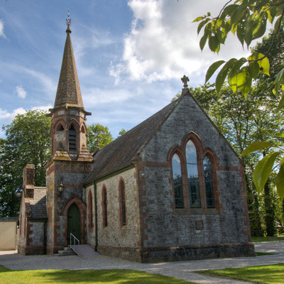 Church in BrannockstownChurch · 1.9 mi
 Enclosure in Batterstown (moyfenrath Lower By.)Enclosure · 2.0 mi
 CastleCastle, unclassified · 2.2 mi
 Wych ElmWych Elm · 2.4 mi
 Common LimeCommon Lime · 2.6 mi
 Donore CastleCastle · 3.1 mi
 Cloncurry GraveyardHeritage attraction · 5.7 mi
 Old Bog Road made famous by Teresa Bryton 1868-1943Memorial · 6.1 mi
 Croppies' GraveMemorial · 6.4 mi
 Kilgar GardensHeritage attraction · 7.6 mi