What is recorded here
Fairy fort in Clonbartan, County Meath: an oval grass ring, 59 metres long and 32 metres wide, on a southern slope of Mathews’s Hill. In 1836 it was still marked as a fort; today the earth has softened into a shallow scarpside hollow where grass grows thick and rain gathers at the edges. People may have enclosed it for housing, herds or ceremony, while later imagination assigned it to fairies because such rings resist ordinary explanation.
Located on a short NW-SE spur towards the bottom of a S-facing slope of Mathews’s Hill. A large oval embanked enclosure (ext. dims c. 70m NNW-SSE; c. 40m ENE-WSW) is depicted only on the 1836 edition of the OS 6-inch map where it is described in gothic lettering as a ‘Fort’. This is an oval grass-covered area (dims 59m WNW-ESE; 32m NNE-SSW) defined by a slight scarp.
The above description is derived from the published 'Archaeological Inventory of County Meath' (Dublin: Stationery Office, 1987). In certain instances the entries have been revised and updated in the light of recent research.
Compiled by: Michael Moore
Date of revision: 3 September 2018
The monument record does not grant public access. Check the route and ask the landowner before entering private land.
- What survives
- Recorded monument
Places near here
 Matthew's HillMountain / peak · 433 yd
 IndicatedFairy fort / earthen ringfort · 1130 yd
 Carnagillagh FortFairy fort / earthen ringfort · 1255 yd
 CastleCastle, motte · 1396 yd
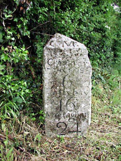 milestone/milepostmilestone/milepost · 1747 yd
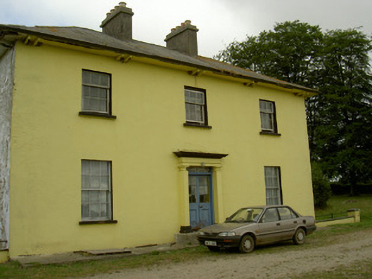 Tullakeel Househouse · 1.2 mi
 Yellow HillMountain / peak · 1.4 mi
 MoatCastle, motte · 1.5 mi
 Flat cemetery in AnnaheanFlat cemetery · 3.5 mi
 Tree IslandWood · 3.8 mi
 European White ElmEuropean White Elm · 4.0 mi
 Sir Frederick Foster MemorialMemorial · 4.1 mi