What is recorded here
No visible wall remains, but the ground still holds its shape: a broad circular rise, broken by a sunken ditch and a thin causeway at the east. The measurement makes it human rather than mythical, yet the fairy-fort name preserves the old temptation to believe the circle belongs elsewhere. Clonasillagh keeps both truths at once, exact in dimension and uncertain in meaning.
Situated on a rise which is on an E-facing slope and the interior slopes down slightly to the E (H 0.5m). This is a raised, circular and grass-covered area (diam. 43m E-W; 41m N-S) defined by a fosse (Wth of top 4.5-6.5m; Wth of base 1.5m; int. D 1.7-2m; ext. D 0.8m at E to 1.8m at W), with an external counterscarp bank (at W: Wth of base 4m; ext. H 0.3m) W-NE and SE-S. A causeway (Wth of top 2.9m; H 0.5m) across the fosse at E is the only indication of an entrance, and the perimeter has some bushes S-NW.
The above description is derived from the published 'Archaeological Inventory of County Meath' (Dublin: Stationery Office, 1987). In certain instances the entries have been revised and updated in the light of recent research.
Compiled by: Michael Moore
Date of revision: 22 February 2019
Amended: 15 December 2022
The monument record does not grant public access. Check the route and ask the landowner before entering private land.
- What survives
- Recorded monument
Places near here
 EnclosureEnclosure, large enclosure · 906 yd
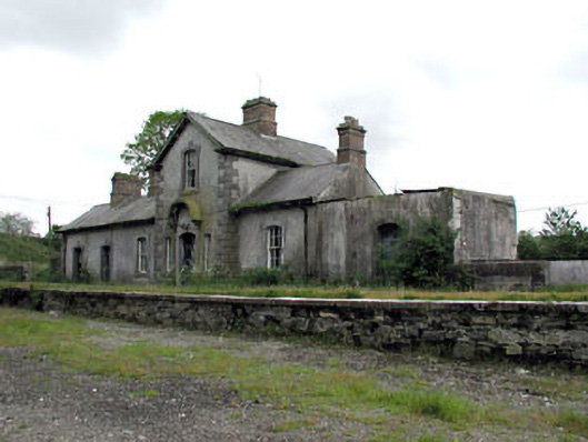 Virginia Road Railway Stationrailway station · 1181 yd
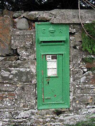 post boxpost box · 1205 yd
 CastleCastle, motte and bailey · 1.0 mi
 Ballyhist WoodWood · 1.2 mi
 Balgree MoteCastle, motte · 1.3 mi
 Mote of DerverArchaeological place · 1.3 mi
 Woodpole Fox CovertWood · 2.2 mi
 Oliver Plunkett memorialMemorial · 2.4 mi
 IslandboyIslet · 2.6 mi
 IslandMountain / peak · 2.7 mi
 Stony IslandIslet · 2.8 mi