What is recorded here
Modern farm buildings press against the Clonarney ringfort, blocking the entrance and dividing the ancient interior into three unequal farm yards. People built a low earthen bank and drystone face around a raised circular area, creating a defensible home or marker before human memory reached back that far. The vague fosse and lost gateway suggest the site resisted easy understanding even when it was new.
Raised circular area (int. dims. 35.4m NNW-SSE; 35m ENE-WSW) enclosed by a low earthen bank and vague traces of a fosse identifiable only from SE-S. Exterior of bank has been faced with drystone masonry. Modern farm buildings abut the site from NW-N-NE. Original entrance not recognisable. Internal area is divided into three unequal portions by modern field boundaries.
The above description is derived from the published 'Archaeological Inventory of County Cavan' (Dublin: Stationery Office, 1995). In certain instances the entries have been revised and updated in the light of recent research.
Date of upload/revision: 22 December 2008
The monument record does not grant public access. Check the route and ask the landowner before entering private land.
- What survives
- Recorded monument
Places near here
 Cornaglare or PalmiraMountain / peak · 738 yd
 Enclosure in KilleterEnclosure · 901 yd
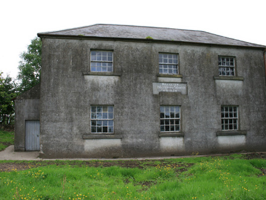 Killeter National Schoolschool · 1058 yd
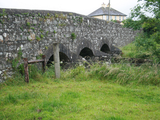 Corlat Bridgebridge · 1331 yd
 Sit of Old CastleCastle, unclassified · 1.1 mi
 Hilltop enclosure in CrossbaneHilltop enclosure · 1.5 mi
 Crow IslandIslet · 1.8 mi
 Sally IslandIslet · 1.8 mi
 CastleCastle, tower house · 1.9 mi
 Cloghballybeg ForestForest · 2.3 mi
 Cloghbally LowerMountain / peak · 2.3 mi
 Tullynaskeagh WestForest · 3.1 mi