What is recorded here
Fairy fort is gone, erased or buried, but it was a large ring with a bank and an entrance nobody could find. Clonandra still turns past that loss, perhaps remembering the shape or perhaps inventing it.
Marked 'Fort' on OS 1836 and 1876 eds. An earlier report (OPW 1974) described a raised circular area (int. dims. c. 60m N-S; c. 50m E-W) enclosed by a low, wide earthen bank. Original entrance was not recognisable. Site has been levelled. Not visible at ground level.
The above description is derived from the published 'Archaeological Inventory of County Cavan' (Dublin: Stationery Office, 1995). In certain instances the entries have been revised and updated in the light of recent research.
Date of upload/revision: 22 December 2008
The monument record does not grant public access. Check the route and ask the landowner before entering private land.
- What survives
- Recorded monument
Places near here
 ClonandraMountain / peak · 418 yd
 Clonandra Ramulligan Bog WoodWood · 1015 yd
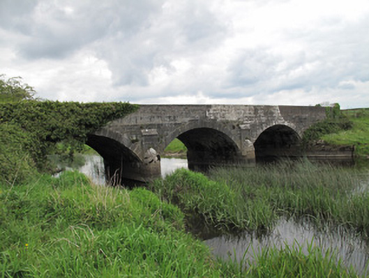 Annaghmullin Bridgebridge · 1234 yd
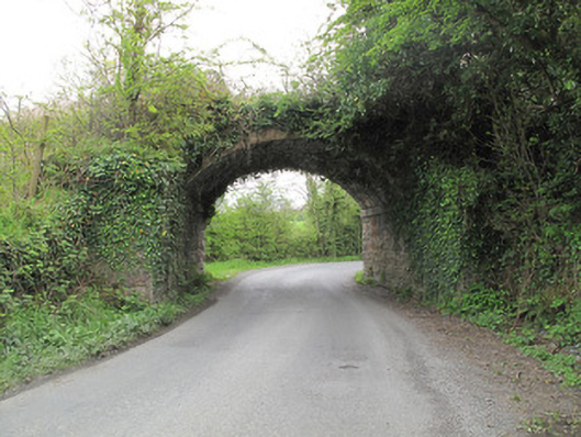 bridgebridge · 1290 yd
 HOLY WELL in DrummullyHOLY WELL · 1475 yd
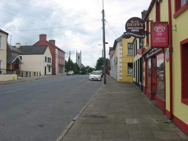 IndicatedFairy fort / earthen ringfort · 1475 yd
 RuinsHouse, fortified house · 1.2 mi
 Bawn in KillyfanaBawn · 1.2 mi
 SycamoreSycamore · 1.2 mi
 DrumakeenanMountain / peak · 1.3 mi
 Annagh Lough BeachBeach / strand · 4.4 mi
 Garden IsleIslet · 4.5 mi