What is recorded here
Denis Power documented the Clonagh ringfort in 2011, capturing an oval earthwork where cattle have gnawed the northern bank while mature trees canopy the nettle-choked interior. The southern arc still rises fifteen centimetres above the inside ground, marking a boundary that human hands shaped before memory faded. What lives inside that green darkness is no longer certain, but the shape remains clear enough to invite imagination.
In pasture, on gentle ESE-facing slope. Oval area (22.7m N-S; 27.7m E-W) enclosed by earthen bank with external fosse (D 0.65m; Wth 2.5m). Bank is best preserved along S arc (int. H 0.35m; ext. H 1.5m) but has been badly eroded by cattle along N arc. Interior, covered by nettles under a canopy of mature trees, slopes gently down to E. Field boundary, on N-S axis, skirts enclosure at E.
Compiled by: Denis Power
Date of upload: 26 August 2011
The monument record does not grant public access. Check the route and ask the landowner before entering private land.
- What survives
- Recorded monument
Places near here
 St. Kierans WellHoly well · 848 yd
 St. Kieran's WellSpring · 857 yd
 bridgebridge · 865 yd
 Ecclesiastical enclosure in ClonaghEcclesiastical enclosure · 922 yd
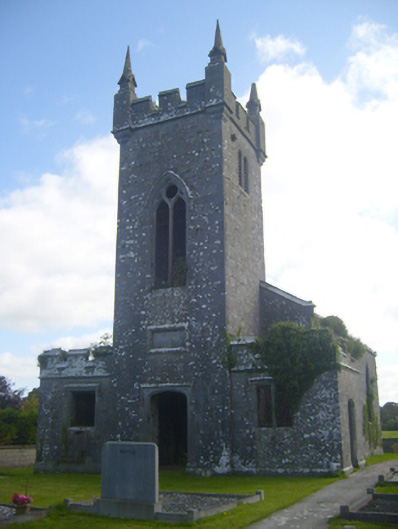 Kilscannell Churchchurch/chapel · 993 yd
 TobernablahySpring · 1512 yd
 Bawn in Lisnacullia (connello Lower By.)Bawn · 1.3 mi
 Castle MatrixCastle, tower house · 1.8 mi
 European ashEuropean ash · 2.3 mi
 Limerick GreenwayWalking route · 7.2 mi
 Gammarel PointHeadland · 8.7 mi
 Sugar HillMountain / peak · 8.8 mi