What is recorded here
A road cut through the fort, leaving only the southern half of a forty-four metre circle. The earthen bank still stands two metres thick beside a faint external ditch, marking a boundary that human traffic forgot. Fairy fort is the local name for this broken ring, but the shape speaks plainly: a place enclosed, then divided, then half-erased. What remains is large enough to walk around and quiet enough to remember.
Situated on level ground in undulating countryside. A roadway runs across the centre of the site with only the S portion surviving. The remains consist of a semicircular shaped area (diam 44m max.) enclosed by an earthen bank (Wth 2m) and slight remains of an external fosse (Wth 1.5m) with no entrance feature visible.
The above description is derived from the published 'Archaeological Inventory of County Offaly' (Dublin: Stationery Office, 1997). In certain instances the entries have been revised and updated in the light of recent research.
Date of upload: 23 May 2011
The monument record does not grant public access. Check the route and ask the landowner before entering private land.
- What survives
- Recorded monument
Places near here
 IndicatedCastle, unclassified · 1108 yd
 CastleCastle, motte · 1211 yd
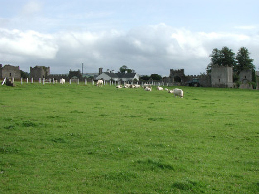 Franckfort Castlecountry house · 1294 yd
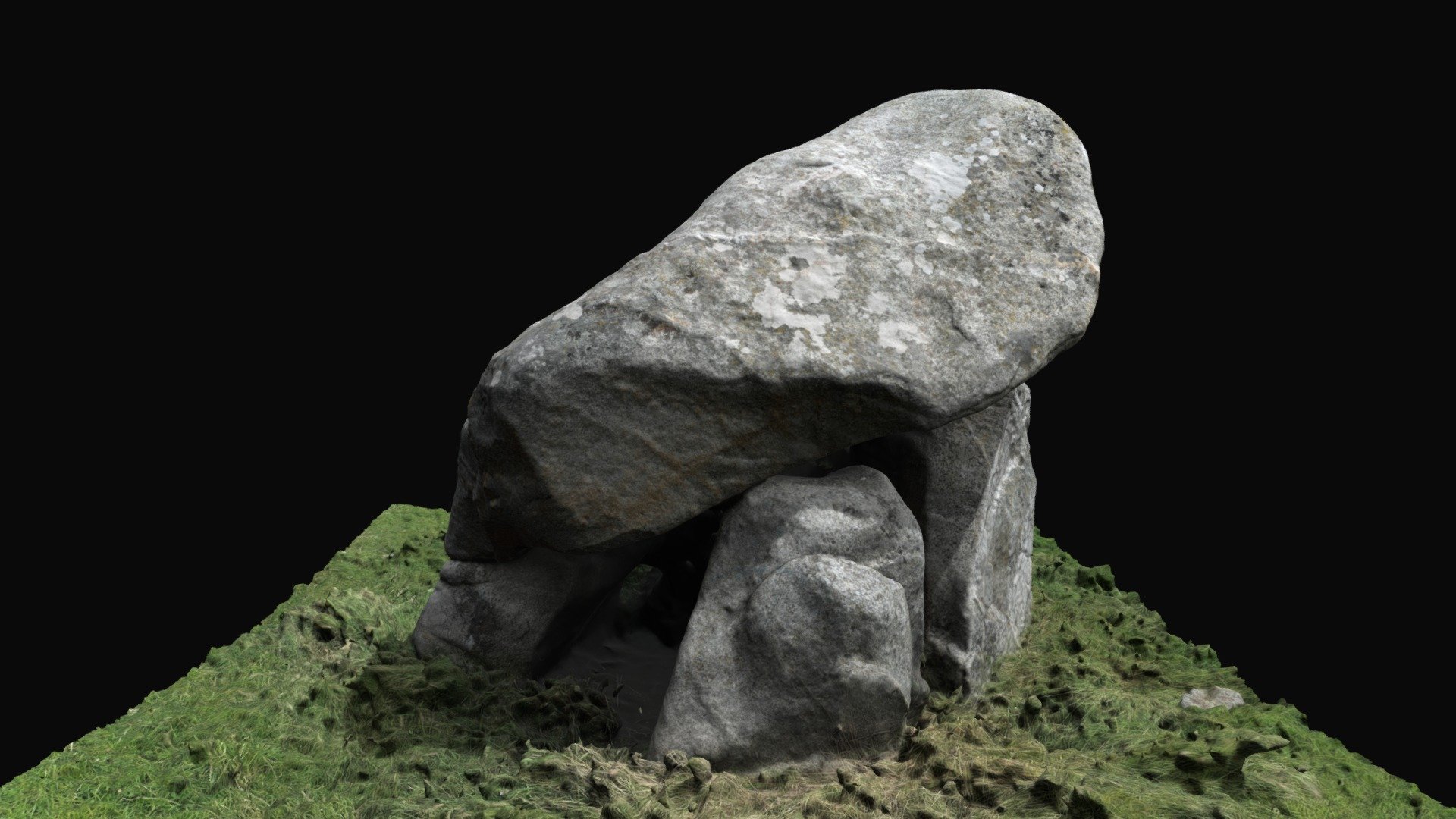 Enclosure in BallybrackEnclosure · 1348 yd
 Field system in FranckfortField system · 1591 yd
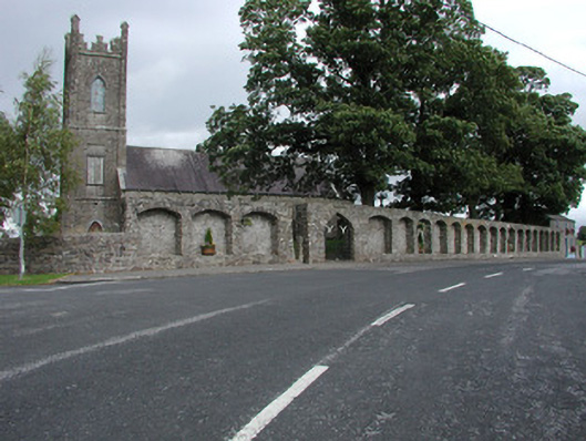 Dunkerrin Churchchurch/chapel · 1592 yd
 Coolock WoodForest · 3.0 mi
 White MulberryWhite Mulberry · 3.1 mi
 BenduffMountain / peak · 4.3 mi
 Roscrea Petty Sessions HouseHeritage attraction · 4.6 mi
 Eagle HillMountain / peak · 4.6 mi
 Thomas MacDonagh Heritage CentreMuseum · 6.3 mi