What is recorded here
Fairy fort in Clonagannagh, County Offaly. Rough oval, thirty-five metres wide, thirty-nine long. Earthen bank two metres thick, half a metre high inside. External fosse three metres wide. Visible from north through east to south. Elsewhere destroyed. Entrance gap four metres wide at east. Situated on a slight rise in undulating countryside. The shape remains clear enough to walk around and imagine the life that made it.
Situated on a slight rise of ground in undulating countryside. Roughly oval shaped area (diam 35m E-W; 39m N-S) enclosed by an earthen bank (Wth 2m; int. H 0.5m) and external fosse (Wth 3m) visible from N through E to S elsewhere it is destroyed with entrance gap (Wth 4m) at E.
The above description is derived from the published 'Archaeological Inventory of County Offaly' (Dublin: Stationery Office, 1997). In certain instances the entries have been revised and updated in the light of recent research.
Date of upload: 23 May 2011
The monument record does not grant public access. Check the route and ask the landowner before entering private land.
- What survives
- Recorded monument
Places near here
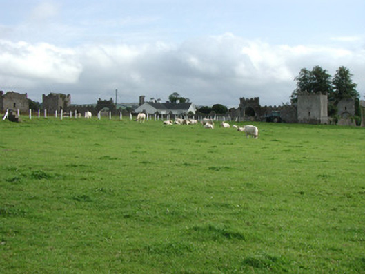 Franckfort Castlecountry house · 1192 yd
 IndicatedCastle, unclassified · 1198 yd
 CastleCastle, motte · 1275 yd
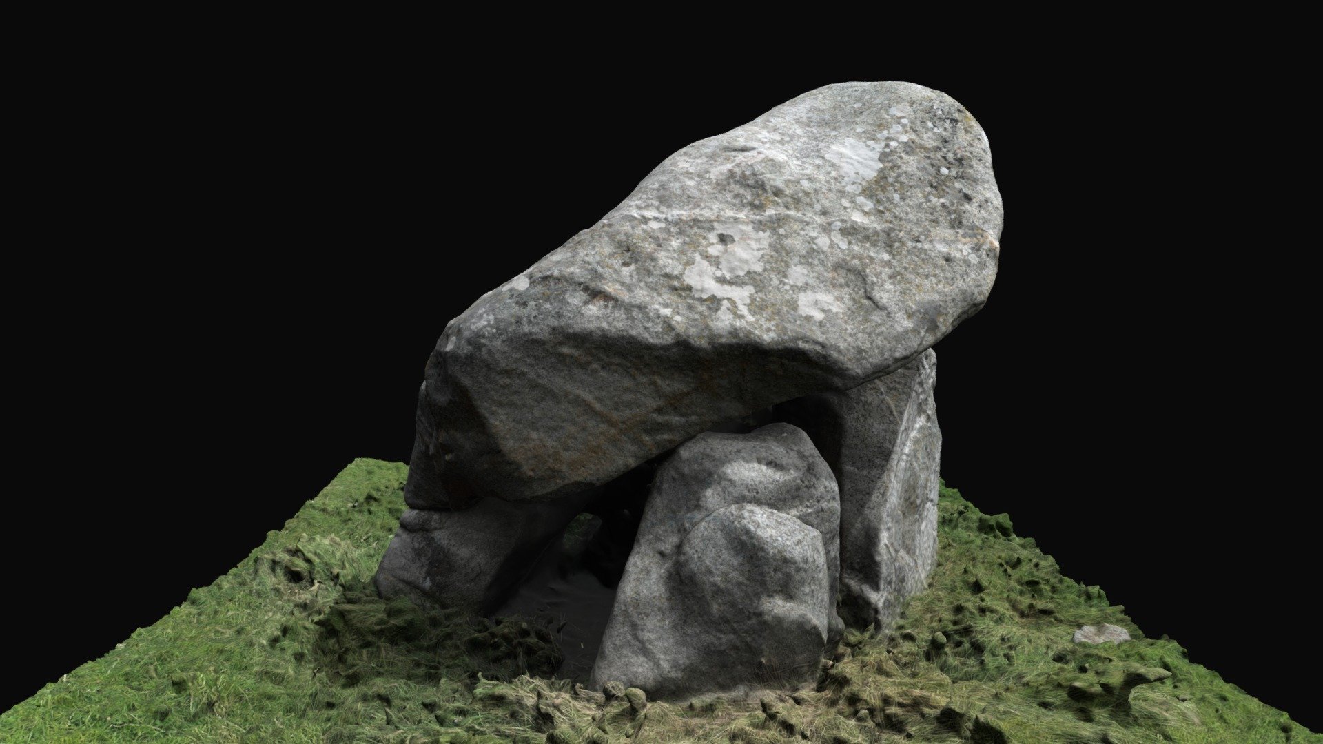 Enclosure in BallybrackEnclosure · 1338 yd
 Field system in FranckfortField system · 1528 yd
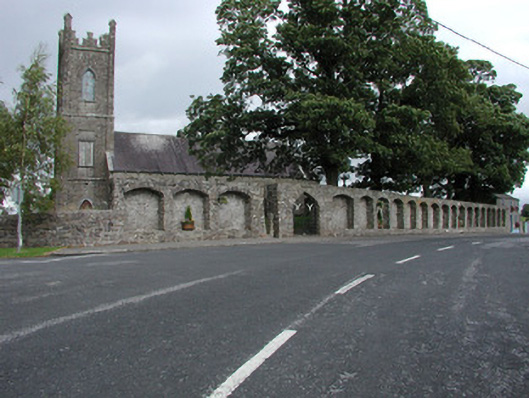 Dunkerrin Churchchurch/chapel · 1540 yd
 Coolock WoodForest · 3.0 mi
 White MulberryWhite Mulberry · 3.1 mi
 BenduffMountain / peak · 4.4 mi
 Eagle HillMountain / peak · 4.6 mi
 Roscrea Petty Sessions HouseHeritage attraction · 4.6 mi
 Thomas MacDonagh Heritage CentreMuseum · 6.2 mi