What is recorded here
Cloheen presents a perfect 28-metre circle on a gentle north-facing slope, now buried beneath tillage and ordinary farm life. The earth has forgotten its purpose, yet the shape remains clear enough to suggest a fort, a boundary, or a chamber where human days once turned into myth. What is missing is not the wall but the witness: the people who stood inside it, breathed in it, and disappeared into the story now called fairy.
In tillage, on gentle N-facing slope. Circular area (28m N-S; 28m E-W) defined by low rise.
The above description is derived from the published 'Archaeological Inventory of County Cork. Volume 1: West Cork' (Dublin: Stationery Office, 1992). In certain instances the entries have been revised and updated in the light of recent research.
Date of upload/revision: 14 January 2009
The monument record does not grant public access. Check the route and ask the landowner before entering private land.
- What survives
- Recorded monument
Places near here
 Fulacht fia in Cloheen (carbery East (e.d.) By., Kilgarriff Par.)Fulacht fia · 260 yd
 RoadRoad, road/trackway · 423 yd
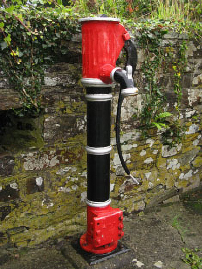 water pumpwater pump · 713 yd
 Burnt mound in Cloheen (carbery East (e.d.) By., Island Par.)Burnt mound · 908 yd
 Clonakilty Blackpudding Visitor CentreHeritage attraction · 922 yd
 Michael Collins House MuseumMuseum · 1327 yd
 Cloch na gCoillteMemorial · 1364 yd
 Clonakilty Tourist OfficeVisitor information · 1711 yd
 Clonakilty HarbourBay · 1.2 mi
 Castle (Site of)Castle, unclassified · 1.8 mi
 CastleCastle, unclassified · 2.5 mi
 Battle of the Big Cross (1798) Memorial MonumentMonument · 3.0 mi