What is recorded here
Monsieur O'Hare's fort stands 200 metres southeast of Lough Aphuca, its earthen bank rising two metres at the south before quarrying stole the western edge. Inside, mature trees shade grassy hollows where ancient hands may have pulled stones for roadwork or building. The southeast gap remains the likely entrance, a narrow two-metre throat leading into the circular space. What lives there now is memory itself, shaped by water, wood, and the patient labour of forgetting.
Situated in a low-lying position c. 200m SE of Lough Aphuca, a small circular lake (diam. c. 120m). This is a circular grass and scrub-covered area (diam. 46m N-S; 44m E-W) with mature deciduous trees, which is defined by an earthen bank (Wth of base 6-6.4m; int. H 0.8-1m; ext. H 1.6m at N to 2.4m at S). The bank has been quarried away W-NW, and there are traces of grass-covered quarries in the interior at SW and NW. There are several gaps in perimeter but the original entrance is probably that at SSE (Wth of base 2m).
The above description is derived from the published 'Archaeological Inventory of County Monaghan' (Dublin: Stationery Office, 1986). In certain instances the entries have been revised and updated in the light of recent research.
Date of revision: 28 July 2017
The monument record does not grant public access. Check the route and ask the landowner before entering private land.
- What survives
- Recorded monument
Places near here
 Fin McCools TableMegalithic tomb · 403 yd
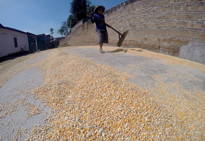 KilnKiln, corn-drying · 1093 yd
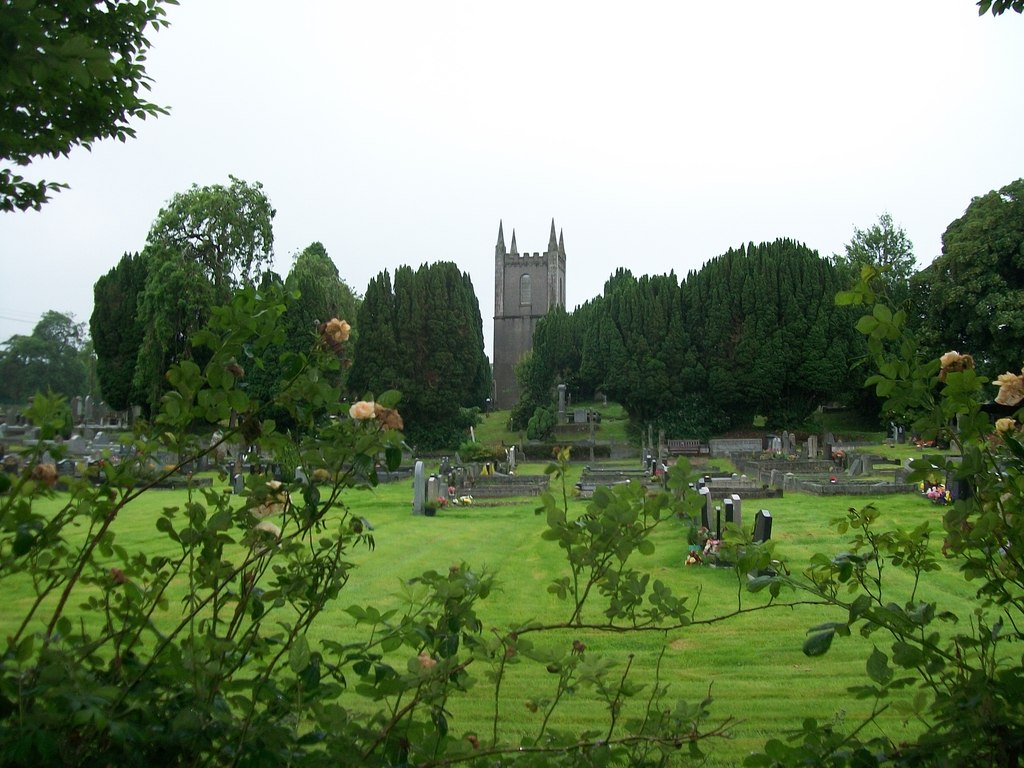 Burial ground in Cloghvally LowerBurial ground · 1236 yd
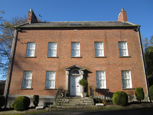 Derryolam Houserectory/glebe/vicarage/curate's house · 1.0 mi
 Horse-chestnutHorse-chestnut · 1.0 mi
 Mannan Castle (in ruins)Castle, Anglo-Norman masonry castle · 1.6 mi
 European BeechEuropean Beech · 1.9 mi
 TobernagalliaghSpring · 1.9 mi
 Drumerlough MoreMountain / peak · 4.6 mi
 CastleCastle, motte and bailey · 4.7 mi
 RaferaghMountain / peak · 5.0 mi
 Gully IslandIslet · 5.1 mi