What is recorded here
Fairy forts are earthen rings that once held human lives, not fairy kitchens. In Cloghreagh the ring measures forty-two by thirty-seven metres on a hillock, with a five-metre-wide bank and shallow ditches barely visible through grass. Its entrance has vanished or never stood proud, and part of the bank has become a field boundary. The ring may have been a home, a boundary marker, or a forgotten centre of a small world.
Situated on a hillock. This is a subcircular grass-covered area (dims 42m N-S; 37m E-W) defined by slight traces of a bank and a fosse (Wth of top 5m; int. D 0.8m at N to 1.5m at S; ext. D 0.8m at S to 0.9m at N). An entrance is not identified and the bank is incorporated into a field bank and hedge N-ESE.
The above description is derived from the published 'Archaeological Inventory of County Meath' (Dublin: Stationery Office, 1987). In certain instances the entries have been revised and updated in the light of recent research.
Compiled by: Michael Moore
Date of revision: 22 October 2018
The monument record does not grant public access. Check the route and ask the landowner before entering private land.
- What survives
- Recorded monument
Places near here
 Cloghmacoo FortFairy fort / earthen ringfort · 893 yd
 MoatCastle, motte and bailey · 1061 yd
 Enclosure in CloghmacooEnclosure · 1.0 mi
 Drumran HillMountain / peak · 1.1 mi
 Newstone Castle in RuinsCastle, tower house · 1.4 mi
 KillaruggleChurch · 1.7 mi
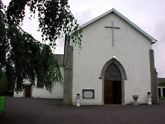 Catholic Church of Saint Peter and Saint Paulchurch/chapel · 1.8 mi
 Matthew's HillMountain / peak · 2.7 mi
 Nobber GreenwayMemorial · 3.1 mi
 Tree IslandWood · 3.2 mi
 Common LimeCommon Lime · 3.6 mi
 Flat cemetery in AnnaheanFlat cemetery · 5.0 mi