What is recorded here
No amount of thinking will bring back what has gone. The facts are clear: the fort is levelled, the boundary removed, and no trace remained when last inspected.
Situated on a rise in undulating pasture, with a natural scarp (H c. 0.5m; Wth c. 20m) to E, W and SW. The monument, depicted on the OS 1924 map as a semi-circular area (c. 30m E-W; 20m N-S) defined by a field boundary to N, by a curving trackway from W to SE and by a bank from SE to E, has been levelled and the field boundary to N has been removed. There was no evident trace of the enclosure when inspected.
Compiled by: Denis Power
Date of upload: 27 March 2013
This remains an important historical record, but the official description says the monument is no longer visible or has been destroyed. The monument record does not grant public access. Check the route and ask the landowner before entering private land.
- What survives
- No visible remains or recorded as destroyed
Places near here
 ExcavationExcavation, miscellaneous · 953 yd
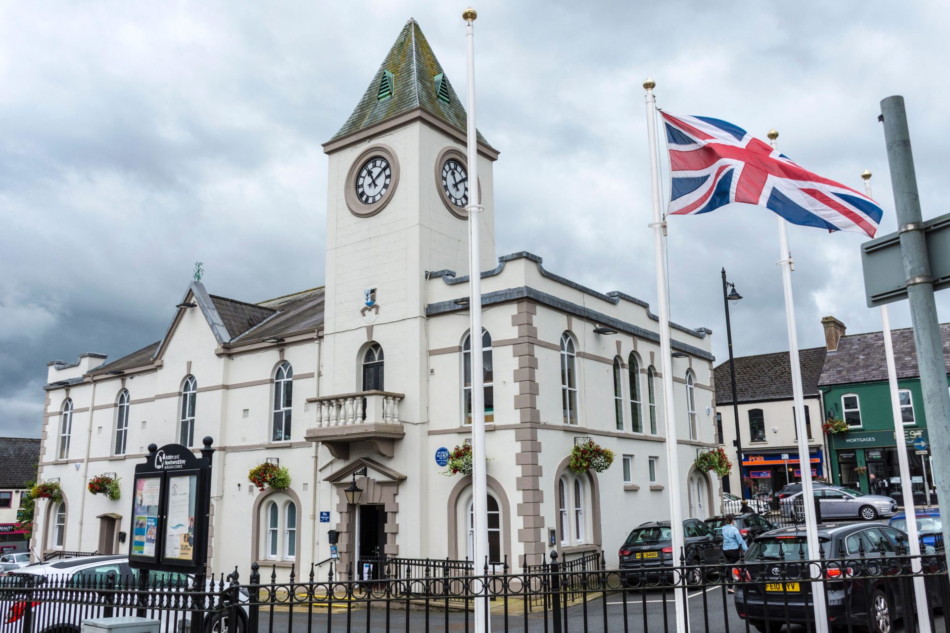 Not shown.Excavation, miscellaneous · 979 yd
 RoadRoad, road/trackway · 1206 yd
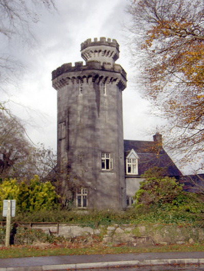 Roche Castlehouse · 1695 yd
 Castle FieldCastle, unclassified · 1.1 mi
 Meelick Ho.House, fortified house · 3.2 mi
 Sailors HaggardMemorial · 4.2 mi
 Fountain SculptureHeritage attraction · 6.1 mi
 Visitor CentreVisitor information · 6.1 mi
 Campus MapVisitor information · 6.2 mi
 Grass IslandIslet · 6.7 mi
 Maiden RockNamed rock · 6.9 mi