What is recorded here
Cloghatrida held a thirty-metre embanked ring on a sunny slope above the marsh, visible in 1841 but erased before human memory faded. The fairies kept their fort by refusing the shovel, or the miners took the stones for lead and silver, leaving only a uneven field where the boundary disappeared. What remains is a hole in the landscape, a circle the earth forgot, and the marsh below still breathes through the gap like a living thing.
In pasture, on S-facing slope, overlooking marshy area. Monument, depicted on 1841 OS 6-inch map as embanked circular enclosure (diam. c. 30m), has been levelled. No trace of monument evident when inspected. Uneven surface of field in this area probably due to abandoned silver and lead mines.
Compiled by: Denis Power
Date of upload: 26 August 2011
The monument record does not grant public access. Check the route and ask the landowner before entering private land.
- What survives
- Recorded monument
Places near here
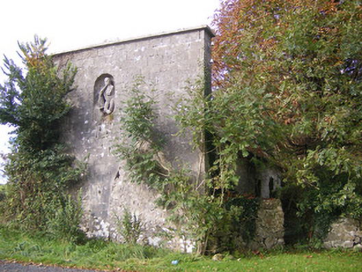 The Vulcanforge/smithy · 178 yd
 Bawn in StonevilleBawn · 599 yd
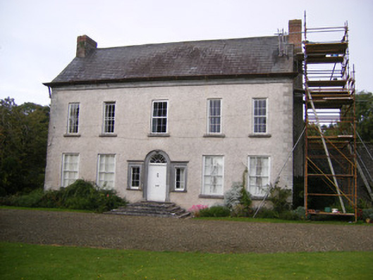 Stonevillecountry house, hunting/fishing lodge · 788 yd
 IndicatedFairy fort / earthen ringfort · 892 yd
 Field system in CloghanaroldField system · 1562 yd
 Castle MatrixCastle, tower house · 1.5 mi
 TobernablahySpring · 1.7 mi
 St. Kieran's WellSpring · 2.6 mi
 Flat cemetery in CroaghFlat cemetery · 3.3 mi
 European ashEuropean ash · 3.8 mi
 Askeaton CastleHeritage attraction · 4.1 mi
 Little HeavenHeritage attraction · 5.1 mi