What is recorded here
That is the Cloghatrida ringfort, a 32-metre earthen circle above the River Deel flood plain where a collapsed stone wall still marks the edge. It sits in pasture on a gentle slope, its scarped bank and uneven interior preserved under grass rather than forgotten. The fort may have been a home, a refuge or a boundary marker for people who lived beside the river, but the earth has kept its shape while the names and events have faded.
In pasture, on gentle NW-facing slope, just above flood plain of River Deel. Circular area (32m N-S; 31m E-W) defined by scarped edge (H 0.5m; Wth 5.9m) WSW->NNE, and enclosed by low earthen bank (int. H 0.4m) overlain by field boundary (collapsed dry-stone wall) NNE->WSW so that enclosure form SW corner of field. Interior, under pasture, has an uneven surface.
Compiled by: Denis Power
Date of upload: 26 August 2011
The monument record does not grant public access. Check the route and ask the landowner before entering private land.
- What survives
- Recorded monument
Places near here
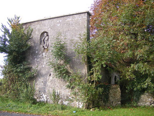 The Vulcanforge/smithy · 870 yd
 Field system in CloghanaroldField system · 874 yd
 Kilcool Bridgebridge · 910 yd
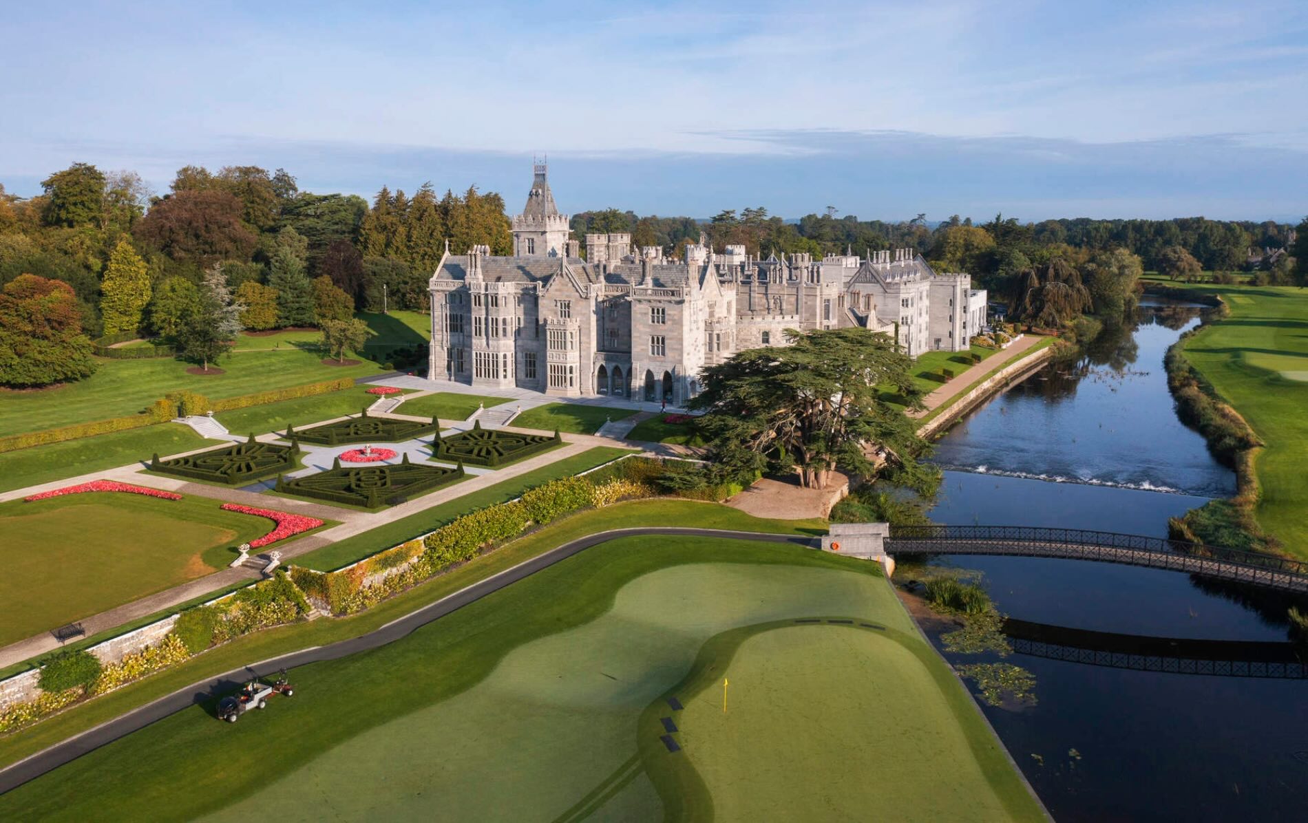 IndicatedFairy fort / earthen ringfort · 1064 yd
 Bawn in StonevilleBawn · 1200 yd
 Castle MatrixCastle, tower house · 1.3 mi
 TobernablahySpring · 1.3 mi
 St. Kieran's WellSpring · 2.2 mi
 European ashEuropean ash · 3.4 mi
 Flat cemetery in CroaghFlat cemetery · 3.5 mi
 Askeaton CastleHeritage attraction · 4.4 mi
 Little HeavenHeritage attraction · 5.5 mi