What is recorded here
Fairy fort in Cloghatrida, County Limerick: a levelled ringfort still marking a 32-metre circle in low pasture, its shallow scarped edge and southeast ditch surviving like a forgotten breath. Cattle walk across the marshy middle without noticing the old line, while rain fills the thin fosse and carries soil toward the field’s edge. What was built there has been worn into the landscape, yet the circle refuses to disappear entirely.
On flat low-lying pasture. Monument, depicted as embanked circular enclosure (diam. c. 30m) on 1923 OS 6-inch map, has been levelled. However, it is still evident as roughly circular area (32m N-S; 29.5m E-W) defined by scarped edge (H 0.15m; Wth 1.4m), with external fosse (D 0.15m; Wth 1.1m) SE->W. Interior is covered by marshy pasture, and has an uneven surface.
Compiled by: Denis Power
Date of upload: 26 August 2011
The monument record does not grant public access. Check the route and ask the landowner before entering private land.
- What survives
- Recorded monument
Places near here
 Kilcool Bridgebridge · 771 yd
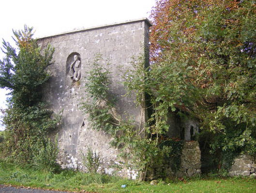 The Vulcanforge/smithy · 855 yd
 IndicatedFairy fort / earthen ringfort · 935 yd
 Field system in CloghanaroldField system · 938 yd
 Bawn in StonevilleBawn · 1226 yd
 Castle MatrixCastle, tower house · 1.3 mi
 TobernablahySpring · 1.4 mi
 St. Kieran's WellSpring · 2.2 mi
 European ashEuropean ash · 3.5 mi
 Flat cemetery in CroaghFlat cemetery · 3.6 mi
 Askeaton CastleHeritage attraction · 4.4 mi
 Little HeavenHeritage attraction · 5.5 mi