What is recorded here
Half a metre of raised earth and a fading western bank mark a twenty-metre chamber on a wooded ridge above Glen Reelin. The northern approach still suggests an entrance, while stumps and undergrowth have reclaimed the centre. People may have stood there, watched the glen or kept something hidden before the trees closed over the work.
Internal diam. 20m. A circular platform .5m high enclosed by an earthen bank, 1m high to the W but gone elsewhere. There is a possible entrance to the N where the site is approached by a narrow ridge. The interior is covered by tree stumps and undergrowth. It is situated on a small hill now well wooded facing up Glen Reelin.
The above description was derived from the 'Archaeological Survey of County Donegal. A description of the field antiquities of the County from the Mesolithic Period to the 17th century.' Compiled by: Brian Lacey with Eamon Cody, Claire Cotter, Judy Cuppage, Noel Dunne, Vincent Hurley, Celie O'Rahilly, Paul Walsh and Seán Ó Nualláin (Lifford: Donegal County Council, 1983). In certain instances the entries have been revised and updated.
Date of upload: 22 September 2008
The monument record does not grant public access. Check the route and ask the landowner before entering private land.
- What survives
- Recorded monument
Places near here
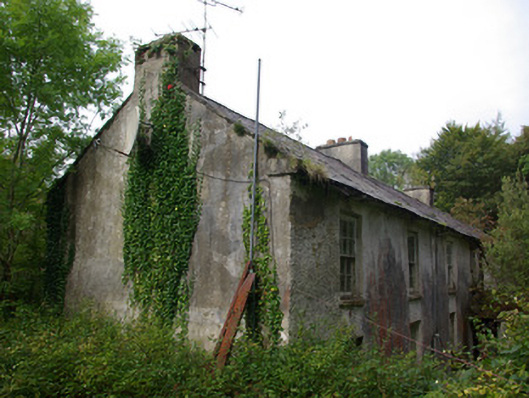 Croghan Lodgeworker's house, outbuilding · 261 yd
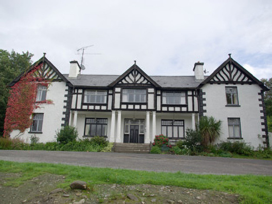 Cloghan Lodgecountry house, hunting/fishing lodge · 265 yd
 Altar (Site of)Penal Mass station · 757 yd
 Fairy fort / stone ringfort in An Chluain ChlaíochFairy fort / stone ringfort · 1216 yd
 AltnapasteMountain / peak · 1.3 mi
 Three TopsMountain / peak · 2.8 mi
 Drumboe WoodForest recreation place · 6.5 mi
 Newmills Corn and Flax MillsHeritage attraction · 8.5 mi
 Site of Castle SollusCastle, unclassified · 8.8 mi
 Battle of Scarrifholisbattle · 8.9 mi
 Meenachullion Nature ReserveNational nature reserve · 9.0 mi
 Bawn in Killynure OR Wilsons FortBawn · 9.3 mi