What is recorded here
Fairy forts hide in plain sight, wearing fences and field edges instead of stone. In Clenor North a curved road boundary and levelled field line still trace a broad U-shape, the kind of shape people remember when they stop measuring it. Local tradition has always called it a ringfort, and the land has kept that shape through tillage and mapping. The fairies may have done nothing at all, or they may have simply taught the boundary to bend.
In tillage, on gentle S-facing slope. Local tradition of ringfort here; on 1842, 1905 and 1937 OS 6-inch maps; curve in field boundary N->S and road boundary S->SW gives U-shaped profile (C c. 60m NE-SW; projection c. 60m to SE) to corner of field on 1842, 1905 and 1937 OS 6-inch maps. Field boundary levelled; road boundary fence (int. H 0.6m; ext. H c. 2m) which forms curve (C 16m) is much more substantial than elsewhere.
The above description is derived from the published 'Archaeological Inventory of County Cork. Volume 4: North Cork' (Dublin: Stationery Office, 2000). In certain instances the entries have been revised and updated in the light of recent research.
Date of upload/revision: 14 January 2009
A fairy fort or earthen ringfort in Clenor North, likely dating to the early medieval period, is marked by a U-shaped field and road boundary configuration. It appears on multiple 19th- and early 20th-century Ordnance Survey maps, and local tradition associates it with supernatural or folkloric significance, as is common with such sites in Celtic tradition.
The monument record does not grant public access. Check the route and ask the landowner before entering private land.
- What survives
- Recorded monument
Places near here
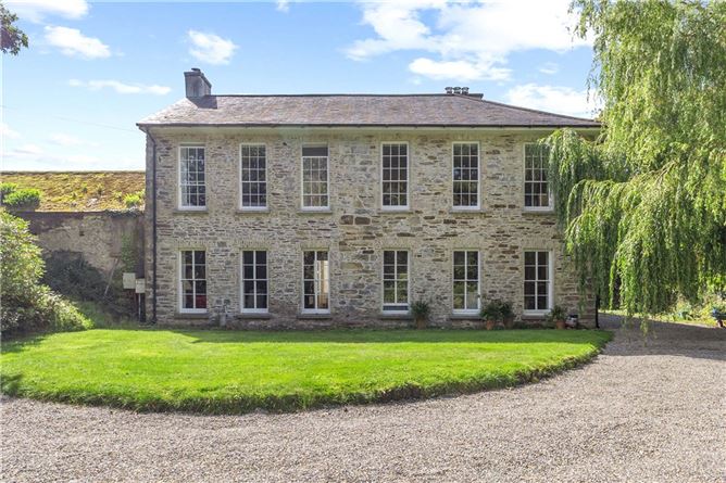 Enclosure in Annakisha NorthEnclosure · 551 yd
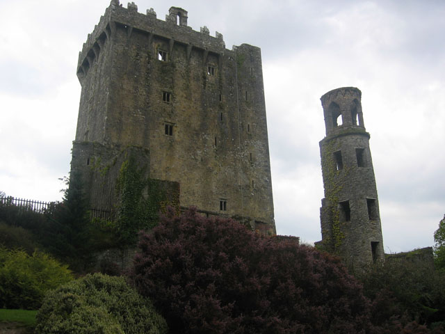 TurretDovecote · 932 yd
 Clenor Church (in Ruins)Church · 1165 yd
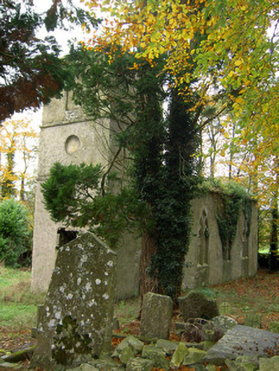 Clenor Cemeterychurch/chapel · 1196 yd
 Scots PineScots Pine · 1663 yd
 Pedunculate OakPedunculate Oak · 1.4 mi
 Doneraile HouseHeritage attraction · 1.6 mi
 Doneraile Castle (Site of)Castle, unclassified · 1.9 mi
 Shanballymore Castle (Site of)Castle, unclassified · 4.2 mi
 Anne's Grove GardensHeritage attraction · 4.6 mi
 In loving memory of Elvis O'DonoghueMemorial · 5.5 mi
 Mallow River TrailVisitor information · 5.5 mi