
What is recorded here
In NW corner of graveyard (14562). Ruinous remains of rectangular church (c. 20m E-W; c. 7.57m N-S. Only south wall of structure now stands, divided into two distinct parts. Line of N wall largely covered by graves, but short length of footings (L 6.2m) visible to-W-of-centre.
Western part (L 9.1m; Wth 1.1m) of S wall built of large rectangular roughly coursed limestone blocks; broken off at W end; terminates to E in butt-end, with scar inside of former cross wall. Several corbels project from external wall face, close to top. Eastern part of wall narrower (Wth 0.86m; L 10.89m), built of random-rubble limestone with occasional sandstone blocks. Doorway towards end has square-set lintelled embrasure (relieving arch overhead); limestone door surround has chamfered edge, and pointed arch. Towards E end of wall is window with splayed and lintelled embrasure; single ogee-headed light, with recessed spandrels. Close to E end of wall is square-set piscina niche with pointed arch. Sandstone block inserted into external face of wall, mid-way between door and window, has worn carving of head with bulging eyes and eyebrow ridges. North wall stood in 19th century when described by Windele (Grove White 1905-25, vol. 2, 192) as having 'no windows'; Buckley (1904-6, 20) described '11 feet of the base of the north wall 3 feet in height, and one foot ten inches in width'. South wall now terminates to W at roadside wall; this close to full length as Windele gave length of church as 70ft (21.33m). Power (1932, 99) mentions 'a pointed doorway' in W gable but this probably refers to door in S wall.
Remains of parish church of Clenor. West end of S wall and carved head probably Romanesque; E end of S wall with door and window are late medieval. Corbels at W end suggest former annexe. Described as one of chief churches of Tuath Muighi Finne in Crichad an Chaoilli (Power ibid., 30). A church here mentioned in Papal Taxation lists of 1291; reported 'in ruins' in 1615, abandoned by 1694 (Brady 1863, vol. 2, 114; Crowley 1996).
The above description is derived from the published 'Archaeological Inventory of County Cork. Volume 4: North Cork' (Dublin: Stationery Office, 2000). In certain instances the entries have been revised and updated in the light of recent research.
Date of upload/revision: 14 January 2009
The monument record does not grant public access. Check the route and ask the landowner before entering private land.
- What survives
- Recorded monument
Places near here
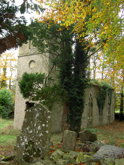 Clenor Cemeterychurch/chapel · 31 yd
 Saint Craunacht's Roman Catholic Churchmonument · 881 yd
 IndicatedEnclosure · 916 yd
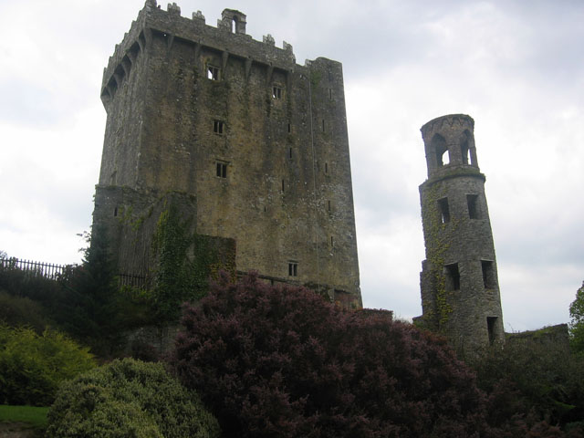 TurretDovecote · 1648 yd
 Scots PineScots Pine · 1.5 mi
 Pedunculate OakPedunculate Oak · 1.8 mi
 Doneraile HouseHeritage attraction · 2.2 mi
 Shanballymore Castle (Site of)Castle, unclassified · 3.9 mi
 Anne's Grove GardensHeritage attraction · 4.1 mi
 Ruane Castle (Site of)Castle, unclassified · 4.4 mi
 In loving memory of Elvis O'DonoghueMemorial · 5.5 mi
 Mallow River TrailVisitor information · 5.6 mi
Other information
Photo: Credit not shown in the picture search · Rights wording not checked; contact us if this picture should be removed